Anicuns | |
|---|---|
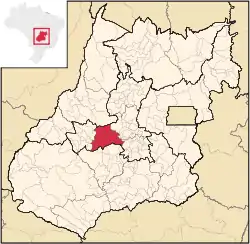 Location in Goias state | |
| Country | Brazil |
| State | Goiás |
| Mesoregion | Centro Goiano |
| Municipalities | 13 |
| Area | |
| • Total | 5,483.0 km2 (2,117.0 sq mi) |
| Population (2007) | |
| • Total | 100,759 |
| • Density | 18/km2 (48/sq mi) |
The Anicuns Microregion is a geographical division in the state of Goiás, Brazil. It is made up of 13 municipalities located around Anicuns, a municipality west of Goiânia.
Municipalities
The microregion consists of the following municipalities:[1]
| Name | Population (2007)[2] |
|---|---|
| Adelândia | 2,510 |
| Americano do Brasil | 4,698 |
| Anicuns | 17,705 |
| Aurilândia | 3,719 |
| Avelinópolis | 2,375 |
| Buriti de Goiás | 2,238 |
| Firminópolis | 10,286 |
| Mossâmedes | 4.954 |
| Nazário | 7,223 |
| Sanclerlândia | 7,647 |
| Santa Bárbara de Goiás | 5,658 |
| São Luís de Montes Belos | 26,784 |
| Turvânia | 4,962 |
See also
References
- ↑ Instituto Brasileiro de Geografia e Estatística, territorial division.
- ↑ Sepin Archived January 15, 2007, at the Wayback Machine
16°27′39″S 49°57′43″W / 16.46083°S 49.96194°W
This article is issued from Wikipedia. The text is licensed under Creative Commons - Attribution - Sharealike. Additional terms may apply for the media files.