Bad Gandersheim Airport Flugplatz Bad Gandersheim | |||||||||||
|---|---|---|---|---|---|---|---|---|---|---|---|
 | |||||||||||
| Summary | |||||||||||
| Airport type | Public | ||||||||||
| Operator | Flugplatz Bad Gandersheim e.V. | ||||||||||
| Serves | Bad Gandersheim, Germany | ||||||||||
| Elevation AMSL | 791 ft / 241 m | ||||||||||
| Coordinates | 51°51′15″N 010°01′40″E / 51.85417°N 10.02778°E | ||||||||||
| Website | www | ||||||||||
| Map | |||||||||||
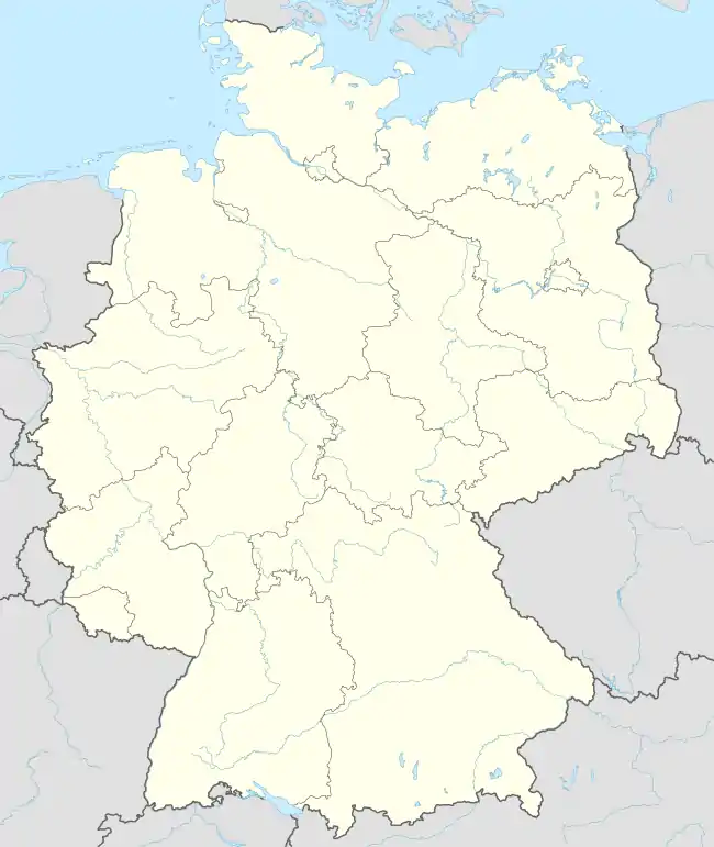 EDVA Location within Germany | |||||||||||
| Runways | |||||||||||
| |||||||||||
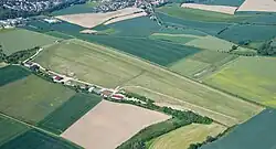
Bad Gandersheim Airport is a German aerodrome located in Bad Gandersheim in the district of Northeim in Lower Saxony, Germany.
See also
References
External links
![]() Media related to Flugplatz Bad Gandersheim at Wikimedia Commons
Media related to Flugplatz Bad Gandersheim at Wikimedia Commons
- Official website
- Webcam of the airport, view to the apron
- Luftsportverein (LSV) "Thermik" Alfeld
- Luftsportverein (LSV) Bad Gandersheim
- Sportfliegerclub (SFC) Gandersheim-Seesen
This article is issued from Wikipedia. The text is licensed under Creative Commons - Attribution - Sharealike. Additional terms may apply for the media files.