Geraberg | |
|---|---|
 Church in Geraberg | |
 Coat of arms | |
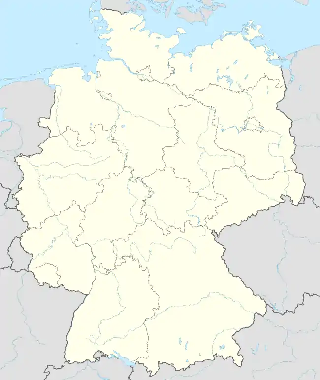
Location of Geraberg | |
 Geraberg 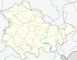 Geraberg | |
| Coordinates: 50°43′5″N 10°50′45″E / 50.71806°N 10.84583°E | |
| Country | Germany |
| State | Thuringia |
| District | Ilm-Kreis |
| Municipality | Geratal |
| Area | |
| • Total | 15.10 km2 (5.83 sq mi) |
| Elevation | 440 m (1,440 ft) |
| Population (2017-12-31) | |
| • Total | 2,312 |
| • Density | 150/km2 (400/sq mi) |
| Time zone | UTC+01:00 (CET) |
| • Summer (DST) | UTC+02:00 (CEST) |
| Postal codes | 99331 |
| Dialling codes | 03677 |
| Vehicle registration | IK, IL, ARN |
| Website | www.geraberg.de |
Geraberg is a village and a former municipality located at the northern edge of the Thuringian Forest in the district Ilm-Kreis, in Thuringia, Germany. Since 1 January 2019, it is part of the municipality Geratal.
References
This article is issued from Wikipedia. The text is licensed under Creative Commons - Attribution - Sharealike. Additional terms may apply for the media files.