Carambolim
Karmali | |
|---|---|
village | |
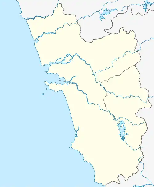 Carambolim Location in Goa, India 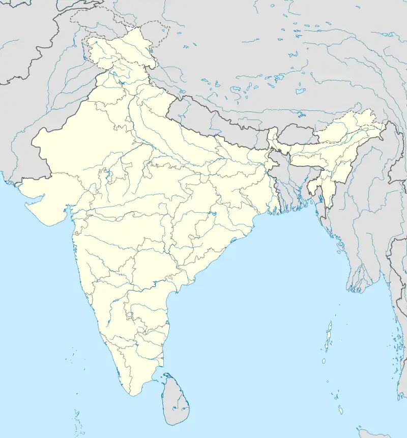 Carambolim Carambolim (India) | |
| Coordinates: 15°29′15″N 73°55′55″E / 15.48750°N 73.93194°E | |
| Country | |
| State | Goa |
| District | North Goa |
| Elevation | 59 m (194 ft) |
| Languages | |
| • Official | Konkani |
| Time zone | UTC+5:30 (IST) |
| Vehicle registration | GA |
| Coastline | 0 kilometres (0 mi) |
| Nearest city | Panaji |
| Website | goa |
Carambolim, also called Karmali, is a village in North Goa district, Goa, India.
Geography
It is located at an elevation of 5 m above MSL.[1]
Location
The railway station at Carambolim (Karmali) falls under the jurisdiction of the Konkan Railway.
References
- ↑ http://www.fallingrain.com/world/IN/33/Carambolim.html Map and weather of Karmali
External links
Wikimedia Commons has media related to Carambolim.
This article is issued from Wikipedia. The text is licensed under Creative Commons - Attribution - Sharealike. Additional terms may apply for the media files.