Mihla | |
|---|---|
 Coat of arms | |
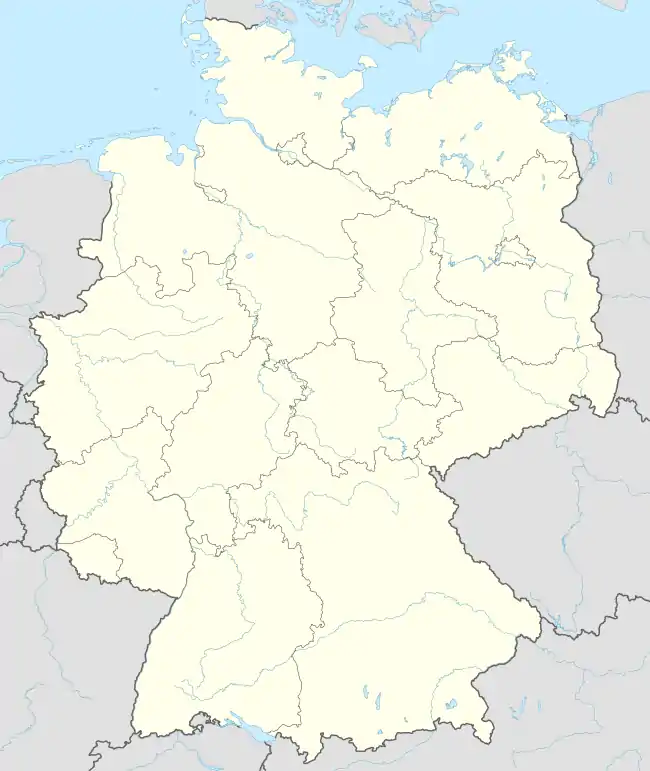
Location of Mihla | |
 Mihla 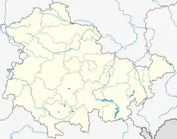 Mihla | |
| Coordinates: 51°5′N 10°20′E / 51.083°N 10.333°E | |
| Country | Germany |
| State | Thuringia |
| District | Wartburgkreis |
| Town | Amt Creuzburg |
| Area | |
| • Total | 31.58 km2 (12.19 sq mi) |
| Elevation | 200 m (700 ft) |
| Population (2018-12-31) | |
| • Total | 2,133 |
| • Density | 68/km2 (170/sq mi) |
| Time zone | UTC+01:00 (CET) |
| • Summer (DST) | UTC+02:00 (CEST) |
| Postal codes | 99826 |
| Dialling codes | 036924 |
| Website | www.mihla.de |
Mihla is a village and a former municipality in the Wartburgkreis district of Thuringia, Germany. Since December 2019, it has been part of the town Amt Creuzburg.
History
Within the German Empire (1871-1918), Mihla was part of the Grand Duchy of Saxe-Weimar-Eisenach.
References
This article is issued from Wikipedia. The text is licensed under Creative Commons - Attribution - Sharealike. Additional terms may apply for the media files.