Rotstergaast | |
|---|---|
Village | |
%252C_tsjerke.jpg.webp) Church of Rotstergaast | |
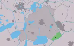 Location in the former Skarsterlân municipality | |
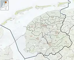 Rotstergaast Location in the Netherlands 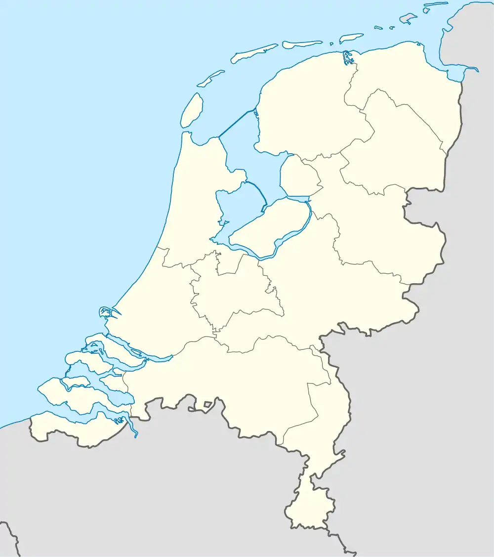 Rotstergaast Rotstergaast (Netherlands) | |
| Coordinates: 52°54′00″N 5°53′28″E / 52.90000°N 5.89111°E | |
| Country | |
| Province | |
| Municipality | |
| Area | |
| • Total | 9.93 km2 (3.83 sq mi) |
| Elevation | 2 m (7 ft) |
| Population (2021)[1] | |
| • Total | 180 |
| • Density | 18/km2 (47/sq mi) |
| Postal code | 8462[1] |
| Dialing code | 0513 |
Rotstergaast is a village in Skarsterlân in De Fryske Marren municipality in the province of Friesland, the Netherlands. It had a population of around 185 in 2017.[3]
History
The village is first mentioned in 1315 as Rutnergast. It means high sandy ridge belonging to Rottum.[4] Rotstergaast already has two chapel in 1315. One is transformed into a church, however it had become derelict by 1718 and was abandoned. In 1928, a new church was built which is nowadays in use as a village centre. In 1840, Rotstergaast was home to 60 people.[5]
Before 2014, Rotstergaast was part of the Skarsterlân municipality and before 1984 it was part of Haskerland.[5]
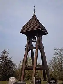
Rotstergaast bell tower
References
- 1 2 3 "Kerncijfers wijken en buurten 2021". Central Bureau of Statistics. Retrieved 29 March 2022.
- ↑ "Postcodetool for 8462AA". Actueel Hoogtebestand Nederland (in Dutch). Het Waterschapshuis. Retrieved 29 March 2022.
- ↑ Kerncijfers wijken en buurten 2017 - CBS
- ↑ "Rotstergaast - (geografische naam)". Etymologiebank (in Dutch). Retrieved 29 March 2022.
- 1 2 "Rotstergaast". Plaatsengids (in Dutch). Retrieved 29 March 2022.
This article is issued from Wikipedia. The text is licensed under Creative Commons - Attribution - Sharealike. Additional terms may apply for the media files.