Sotha | |
|---|---|
Neighbourhood | |
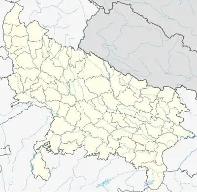 Sotha Location in Uttar Pradesh, India | |
| Coordinates: 28°03′N 79°07′E / 28.05°N 79.12°E | |
| Country | |
| State | Uttar Pradesh |
| District | Badaun district, Uttar Pradesh |
| Metro | Budaun Metro Area, Uttar Pradesh |
| Government | |
| • Body | Budaun Municipal Corporation |
| Population (2016 (estimated)) | |
| • Total | 66,665 |
| Languages | |
| • Official | Urdu |
| Time zone | UTC+5:30 (IST) |
| Lok Sabha constituency | Badaun (Lok Sabha constituency), Uttar Pradesh |
| Vidhan Sabha constituency | Budaun City, Bareilly division, Uttar Pradesh |
| Civic agency | Budaun Municipal Corporation |
Sotha is the oldest area of the city of Budaun, Uttar Pradesh. The locality is largely a residential area, with a majority Muslim population. A considerable number of inhabitants comes from the nearby city of Sahaswan.
Location
Iconic Shakeel Badayuni Road passes through Sotha. SH33 (Agra-Budaun-Bareilly) and Ring Road border it on opposite ends. The nearest bus stop is Lal Pul, about 600 m away. Budaun City Bus Stand is 1.5 km away and Budaun Railway Station is 2.5 km away.
Major Landmarks
- Jama Masjid Shamsi
- GhantaGhar
- Ruins of Budaun Fort
Commercial Areas
- Greenwood Public School
- Islami Darsgah Madarsa School
- Ganga Market
- Plaza Market
See also
This article is issued from Wikipedia. The text is licensed under Creative Commons - Attribution - Sharealike. Additional terms may apply for the media files.