Uňatín | |
|---|---|
Municipality | |
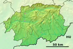 Uňatín Location of Uňatín in the Banská Bystrica Region 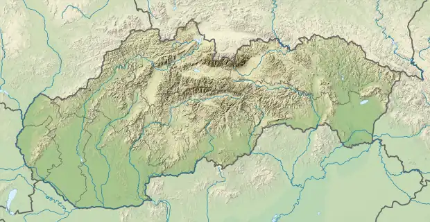 Uňatín Location of Uňatín in Slovakia | |
| Coordinates: 48°18′N 19°04′E / 48.300°N 19.067°E | |
| Country | |
| Region | Banská Bystrica |
| District | Krupina |
| First mentioned | 1311 |
| Area | |
| • Total | 12.99[1] km2 (5.02[1] sq mi) |
| Elevation | 304[2] m (997[2] ft) |
| Population (2021) | |
| • Total | 183[3] |
| Time zone | UTC+1 (CET) |
| • Summer (DST) | UTC+2 (CEST) |
| Postal code | 962 41[2] |
| Area code | +421 45[2] |
| Car plate | KA |
| Website | unatin |
Uňatín (Hungarian: Unyad) is a village and municipality in the Krupina District of the Banská Bystrica Region of Slovakia.[4][5][6]

6: Banská Bystrica Region
References
- 1 2 "Hustota obyvateľstva - obce [om7014rr_ukaz: Rozloha (Štvorcový meter)]". www.statistics.sk (in Slovak). Statistical Office of the Slovak Republic. 2022-03-31. Retrieved 2022-03-31.
- 1 2 3 4 "Základná charakteristika". www.statistics.sk (in Slovak). Statistical Office of the Slovak Republic. 2015-04-17. Retrieved 2022-03-31.
- ↑ "Počet obyvateľov podľa pohlavia - obce (ročne)". www.statistics.sk (in Slovak). Statistical Office of the Slovak Republic. 2022-03-31. Retrieved 2022-03-31.
- ↑ "Uňatín | Úvod". unatin.wbl.sk. Retrieved 2021-06-05.
- ↑ "Divadielko na stračej nôžke | Vitajte". dnsn.wbl.sk. Retrieved 2021-06-05.
- ↑ "Občianske združenie "Nádej v Uňatíne"". Archived from the original on 2010-05-13.
External links
This article is issued from Wikipedia. The text is licensed under Creative Commons - Attribution - Sharealike. Additional terms may apply for the media files.