Ababuj | |
|---|---|
 | |
 Seal | |
 Ababuj 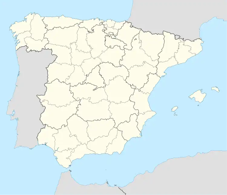 Ababuj | |
| Coordinates: 40°33′N 0°48′W / 40.550°N 0.800°W | |
| Country | |
| Autonomous community | |
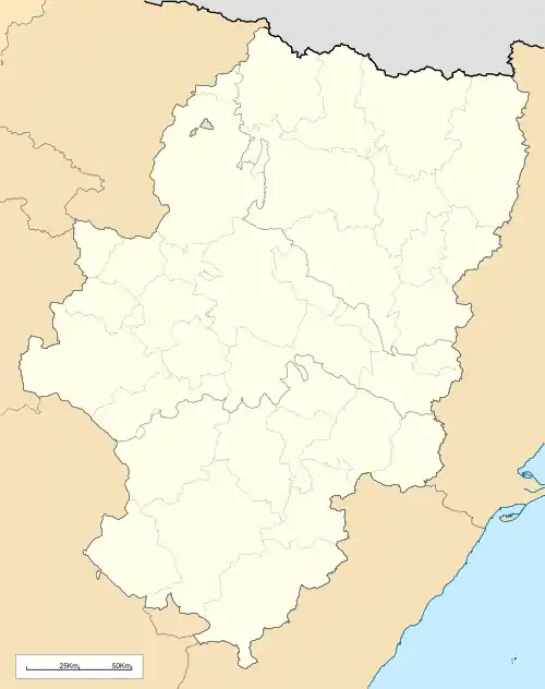
| Province | Teruel |
| Comarca | Comunidad de Teruel |
| Area | |
| • Total | 54.30 km2 (20.97 sq mi) |
| Elevation | 1,368 m (4,488 ft) |
| Population (2018)[1] | |
| • Total | 76 |
| • Density | 1.4/km2 (3.6/sq mi) |
| Time zone | UTC+1 (CET) |
| • Summer (DST) | UTC+2 (CEST) |
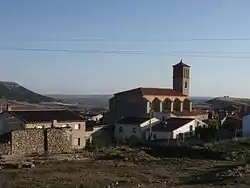
Ababuj (Spanish pronunciation: [abaˈbux]) is a municipality located in the Comunidad de Teruel comarca, province of Teruel, Aragon, Spain. According to the 2010 census the municipality had a population of 77 inhabitants.[2] Its postal code is 44155.
The town is located at high elevation between the Sierra del Pobo and Sierra de Gúdar, part of the Sistema Ibérico.
See also
References
- ↑ Municipal Register of Spain 2018. National Statistics Institute.
- ↑ Instituto Nacional de Estadística (Spain)
External links
Wikimedia Commons has media related to Ababuj.
This article is issued from Wikipedia. The text is licensed under Creative Commons - Attribution - Sharealike. Additional terms may apply for the media files.