Ada
| |
|---|---|
 | |
 Ada 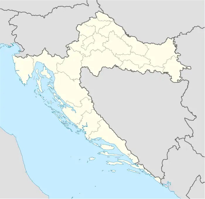 Ada 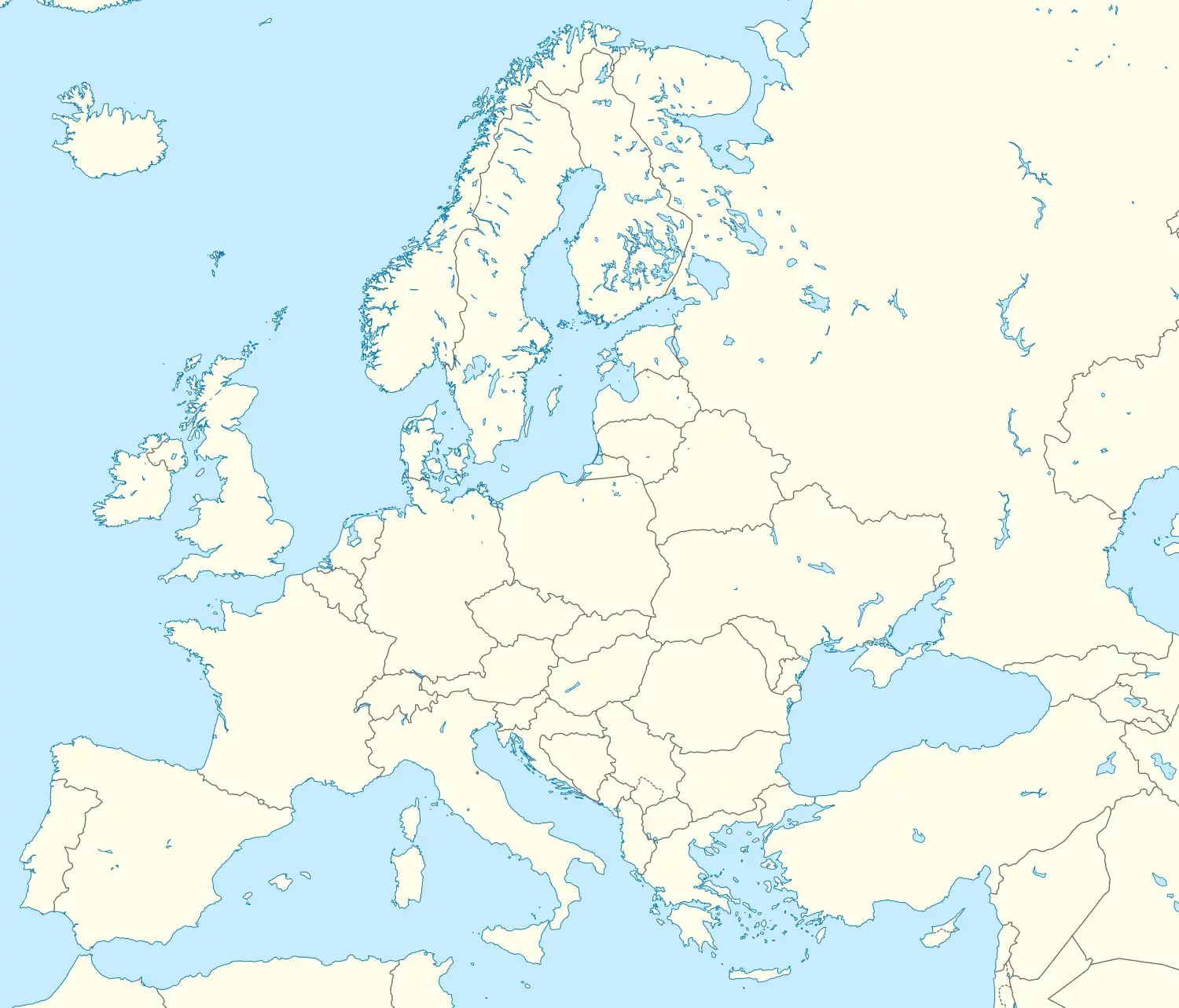 Ada | |
| Coordinates: 45°24′20″N 18°41′02″E / 45.405658°N 18.68377°E | |
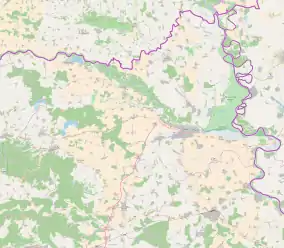
| Country | |
| County | |
| Municipality | Šodolovci |
| Government | |
| • Body | Local Committee |
| Area | |
| • Total | 6.4 km2 (2.5 sq mi) |
| Population (2021)[3] | |
| • Total | 142 |
| • Density | 22/km2 (57/sq mi) |
| Time zone | UTC+1 (CET) |
| Official languages | Croatian, Serbian[1] |
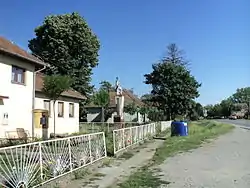
Ada (Serbian Cyrillic: Ада)[4] is a village in Šodolovci, Osijek-Baranja County, Croatia. The settlement was originally a pustara, a Pannonian type of hamlet.[5]
It is connected by the D518 road.
References
- 1 2 Government of Croatia (October 2013). "Peto izvješće Republike Hrvatske o primjeni Europske povelje o regionalnim ili manjinskim jezicima" (PDF) (in Croatian). Council of Europe. p. 36. Retrieved 30 November 2016.
- ↑ Register of spatial units of the State Geodetic Administration of the Republic of Croatia. Wikidata Q119585703.
- ↑ "Population by Age and Sex, by Settlements, 2021 Census". Census of Population, Households and Dwellings in 2021. Zagreb: Croatian Bureau of Statistics. 2022.
- ↑ "Registar Geografskih Imena Nacionalnih Manjina Republike Hrvatske" (PDF) (in Croatian). December 2011. Archived from the original (PDF) on 2016-08-22. Retrieved 2016-02-22.
- ↑ Barišić Bogišić, Lidija (2022). O neslavenskom stanovništvu na vukovarskom području. Hrvatska sveučilišna naklada. p. 156. ISBN 978-953-169-497-1.

This article is issued from Wikipedia. The text is licensed under Creative Commons - Attribution - Sharealike. Additional terms may apply for the media files.