Al-Na'im
الناعم Al-Naeem | |
|---|---|
Village | |
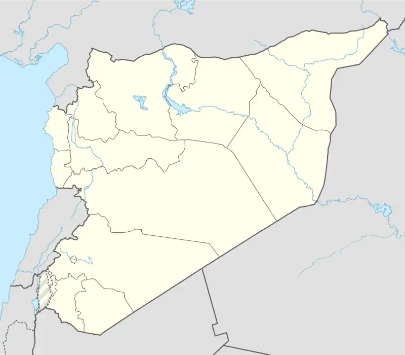 Al-Na'im Location in Syria | |
| Coordinates: 34°35′27″N 36°28′54″E / 34.59083°N 36.48167°E | |
| Country | |
| Governorate | Homs |
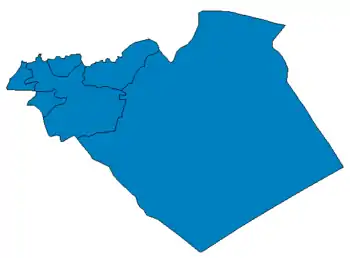
| District | Al-Qusayr |
| Subdistrict | Al-Qusayr |
| Population (2004) | |
| • Total | 2,290 |
| Time zone | UTC+3 (EET) |
| • Summer (DST) | UTC+2 (EEST) |
Al-Na'im (Arabic: الناعم; also spelled al-Naeem) is a village in central Syria, administratively part of the Homs Governorate, located southwest of Homs and northwest of al-Qusayr. Just east of the border with Lebanon and on the western shores of Lake Qattinah, nearby localities include al-Aqrabiyah to the south, Tell al-Nabi Mando, Arjoun, al-Houz to the southeast, Kafr Mousa and al-Ghassaniyah to the east, Khirbet Ghazi to the northeast and Wujuh al-Hajar and Liftaya to the north. According to the Syria Central Bureau of Statistics (CBS), al-Na'im had a population of 2,290 in the 2004 census.[1]
References
- ↑ General Census of Population and Housing 2004 Archived 2012-12-04 at archive.today. Syria Central Bureau of Statistics (CBS). Homs Governorate. (in Arabic)
|   | |||||||||||||||||||||||||||||
|
| ||||||||||||||||||||||||||||||
| ||||||||||||||||||||||||||||||
| ||||||||||||||||||||||||||||||
| ||||||||||||||||||||||||||||||
This article is issued from Wikipedia. The text is licensed under Creative Commons - Attribution - Sharealike. Additional terms may apply for the media files.