Allentsteig | |
|---|---|
 | |
 Coat of arms | |
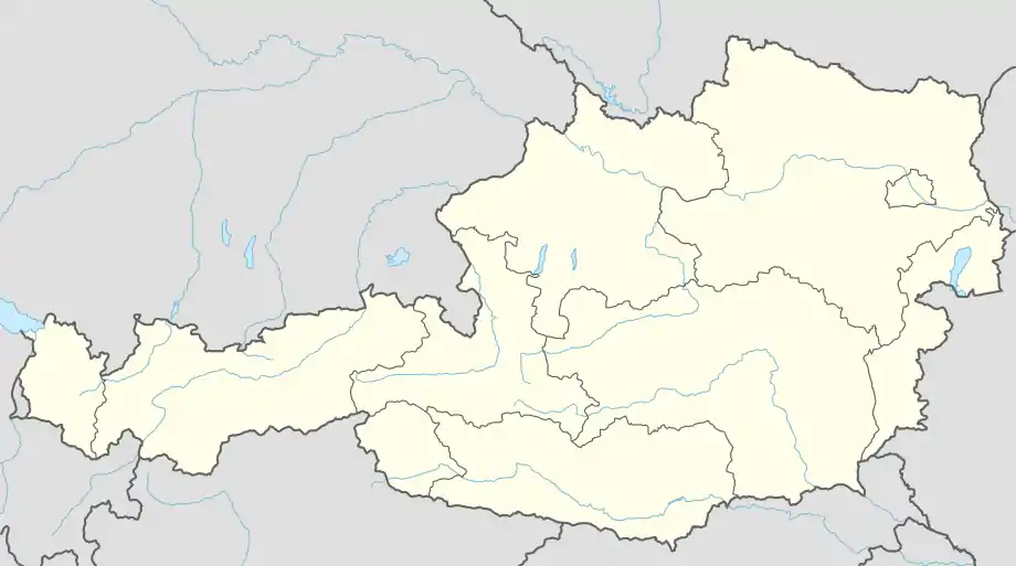 Allentsteig Location within Austria | |
| Coordinates: 48°41′46.54″N 15°19′38.64″E / 48.6962611°N 15.3274000°E | |
| Country | Austria |
| State | Lower Austria |
| District | Zwettl |
| Government | |
| • Mayor | Andreas Kramer (ÖVP) |
| Area | |
| • Total | 71.65 km2 (27.66 sq mi) |
| Elevation | 550 m (1,800 ft) |
| Population (2018-01-01)[2] | |
| • Total | 1,835 |
| • Density | 26/km2 (66/sq mi) |
| Time zone | UTC+1 (CET) |
| • Summer (DST) | UTC+2 (CEST) |
| Postal code | 3804 |
| Area code | 02824 |
| Vehicle registration | ZT |
| Website | www.allentsteig.gv.at |
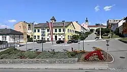
Allentsteig is a municipality in the district of Zwettl, in Lower Austria, Austria.
Just outside Allentsteig there is a German World War II cemetery with almost 3,900 graves. Mainly German soldiers who were killed in the final battles of World War II - trying to prevent the Russian advances into Austria and Germany. The cemetery is located just outside an Austrian military training facility.
Population
| Year | Pop. | ±% |
|---|---|---|
| 1869 | 3,549 | — |
| 1880 | 3,618 | +1.9% |
| 1890 | 3,704 | +2.4% |
| 1900 | 4,034 | +8.9% |
| 1910 | 4,301 | +6.6% |
| 1923 | 3,907 | −9.2% |
| 1934 | 3,967 | +1.5% |
| 1939 | 3,604 | −9.2% |
| 1951 | 3,101 | −14.0% |
| 1961 | 2,765 | −10.8% |
| 1971 | 2,790 | +0.9% |
| 1981 | 2,842 | +1.9% |
| 1991 | 2,447 | −13.9% |
| 2001 | 2,163 | −11.6% |
| 2011 | 2,043 | −5.5% |
References
- ↑ "Dauersiedlungsraum der Gemeinden Politischen Bezirke und Bundesländer - Gebietsstand 1.1.2018". Statistics Austria. Retrieved 10 March 2019.
- ↑ "Einwohnerzahl 1.1.2018 nach Gemeinden mit Status, Gebietsstand 1.1.2018". Statistics Austria. Retrieved 9 March 2019.
External links
Wikimedia Commons has media related to Allentsteig.
This article is issued from Wikipedia. The text is licensed under Creative Commons - Attribution - Sharealike. Additional terms may apply for the media files.