Altlengbach | |
|---|---|
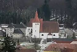 Town centre and parish church | |
 Coat of arms | |
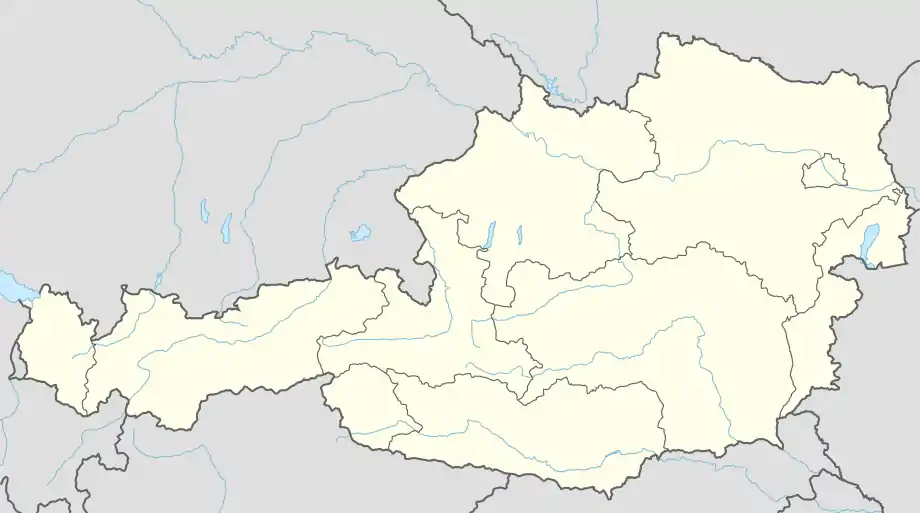 Altlengbach Location within Austria | |
| Coordinates: 48°9′N 15°55′E / 48.150°N 15.917°E | |
| Country | Austria |
| State | Lower Austria |
| District | Sankt Pölten-Land |
| Government | |
| • Mayor | Michael Göschelbauer ( |ÖVP) |
| Area | |
| • Total | 35.59 km2 (13.74 sq mi) |
| Elevation | 302 m (991 ft) |
| Population (2018-01-01)[2] | |
| • Total | 2,927 |
| • Density | 82/km2 (210/sq mi) |
| Time zone | UTC+1 (CET) |
| • Summer (DST) | UTC+2 (CEST) |
| Postal code | 3033 |
| Area code | 02774 |
| Website | http://www.altlengbach.gv.at |
Altlengbach is a town in the district of Sankt Pölten-Land in the Austrian state of Lower Austria.
There are the following localities in the town: Altlengbach, Audorf, Außerfurth, Gottleitsberg, Großenberg, Gschaid, Haagen, Hart, Hocheichberg, Höfer, Innerfurth, Kleinberg, Kogl, Leitsberg, Lengbachl, Linden, Maiß, Manzing, Nest, Öd, Ödengraben, Pamet, Schoderleh, Steinhäusl, Unterthurm
Population
| Year | Pop. | ±% |
|---|---|---|
| 1971 | 1,828 | — |
| 1981 | 2,108 | +15.3% |
| 1991 | 2,670 | +26.7% |
| 2001 | 2,791 | +4.5% |
| 2015 | 2,745 | −1.6% |
References
- ↑ "Dauersiedlungsraum der Gemeinden Politischen Bezirke und Bundesländer - Gebietsstand 1.1.2018". Statistics Austria. Retrieved 10 March 2019.
- ↑ "Einwohnerzahl 1.1.2018 nach Gemeinden mit Status, Gebietsstand 1.1.2018". Statistics Austria. Retrieved 9 March 2019.
This article is issued from Wikipedia. The text is licensed under Creative Commons - Attribution - Sharealike. Additional terms may apply for the media files.