Anevelde | |
|---|---|
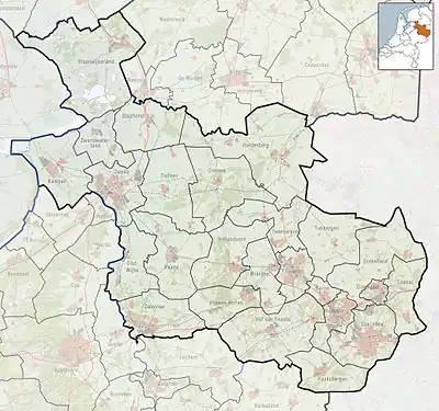 Anevelde Location in province of Overijssel in the Netherlands 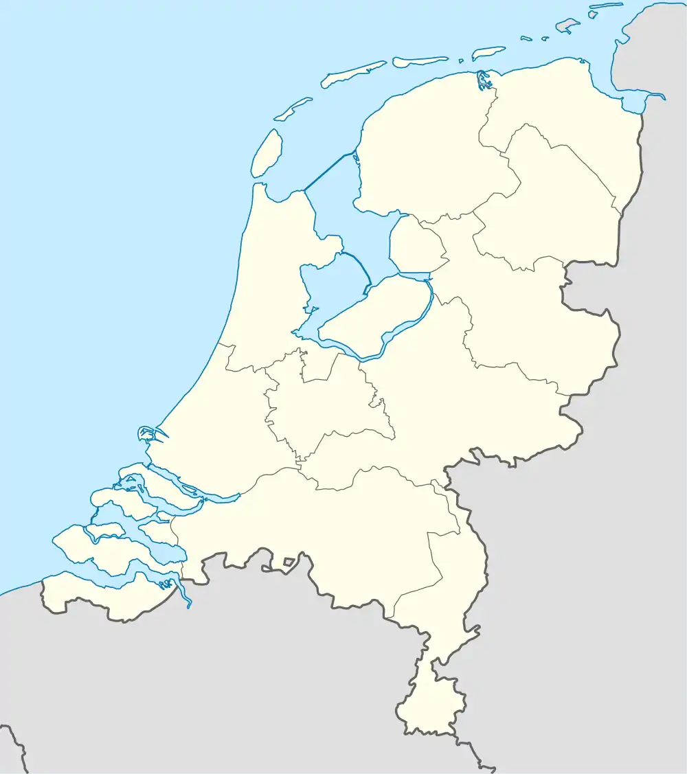 Anevelde Anevelde (Netherlands) | |
| Coordinates: 52°35′51″N 6°38′58″E / 52.59750°N 6.64944°E | |
| Country | Netherlands |
| Province | Overijssel |
| Municipality | Hardenberg |
| Area | |
| • Total | 2.39 km2 (0.92 sq mi) |
| Elevation | 9 m (30 ft) |
| Population (2021)[1] | |
| • Total | 40 |
| • Density | 17/km2 (43/sq mi) |
| Time zone | UTC+1 (CET) |
| • Summer (DST) | UTC+2 (CEST) |
| Postal code | 7785[1] |
| Dialing code | 0524 |
Anevelde is a hamlet in the Dutch province of Overijssel. It is located in the municipality Hardenberg, about 3 km northeast of the centre of Hardenberg.
It was first mentioned in 1259 as Anewede, and means "field near Ane.[3] In 1840, it was home to 62 people. In 2017, the N34 which runs through the hamlet was doubled and all at-grade intersections were removed. The villagers have protested and demanded a tunnel, because they now have to make a 10 kilometres (6.2 mi) detour.[4] A tunnel has been built.[5]
References
- 1 2 3 "Kerncijfers wijken en buurten 2021". Central Bureau of Statistics. Retrieved 14 March 2022.
- ↑ "Postcodetool for 7785JA". Actueel Hoogtebestand Nederland (in Dutch). Het Waterschapshuis. Retrieved 14 March 2022.
- ↑ "Anevelde". Eymologiebank (in Dutch). Retrieved 14 March 2022.
- ↑ "Anevelde". Plaatsengids (in Dutch). Retrieved 14 March 2022.
Site assumed there was no tunnel
- ↑ "De halve van Gramsbergen". Gewoon actief (in Dutch). Retrieved 14 March 2022.
This article is issued from Wikipedia. The text is licensed under Creative Commons - Attribution - Sharealike. Additional terms may apply for the media files.