Anholt | |
|---|---|
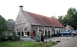 Restaurant in Anholt | |
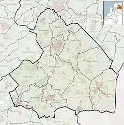 Anholt Location in province of Drenthe in the Netherlands 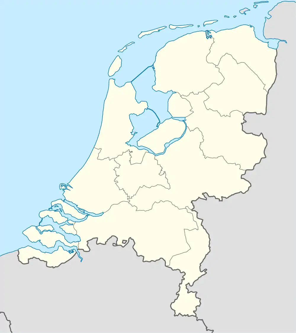 Anholt Anholt (Netherlands) | |
| Coordinates: 52°46′32″N 6°24′47″E / 52.77556°N 6.41306°E | |
| Country | Netherlands |
| Province | Drenthe |
| Municipality | De Wolden |
| Elevation | 13 m (43 ft) |
| Time zone | UTC+1 (CET) |
| • Summer (DST) | UTC+2 (CEST) |
| Postal code | 7933 |
| Dialing code | 0528 |
Anholt is a hamlet in northeast Netherlands.[2] It is located in the municipality De Wolden, Drenthe, about 2 km west of Pesse.[3]
According to the 19th-century historian A.J. van der Aa,[4] it had about 20 inhabitants in the middle of the 19th century, and was also called "Anhalt".[4] The postal authorities have placed it under Pesse.[5] Nowadays, it has about 15 houses and 50 holiday homes.[6]
References
- ↑ "Postcodetool for 7933PA". Actueel Hoogtebestand Nederland (in Dutch). Het Waterschapshuis. Retrieved 12 March 2022.
- ↑ VUGA's Alfabetische Plaatsnamengids van Nederland (13th edition), VUGA, 1997.
- ↑ ANWB Topografische Atlas Nederland, Topografische Dienst and ANWB, 2005.
- 1 2 Abraham Jacob van der Aa, "Aardrijkskundig woordenboek der Nederlanden", vol. 1 (A), 1839, p. 268. "Anhalt".
- ↑ "Postcode 7933 in Pesse". Postcode bij adres (in Dutch). Retrieved 12 March 2022.
- ↑ "Anholt". Plaatsengids (in Dutch). Retrieved 12 March 2022.
Wikimedia Commons has media related to Anholt (Netherlands).
This article is issued from Wikipedia. The text is licensed under Creative Commons - Attribution - Sharealike. Additional terms may apply for the media files.