Annoix | |
|---|---|
.svg.png.webp) Coat of arms | |
Location of Annoix | |
 Annoix 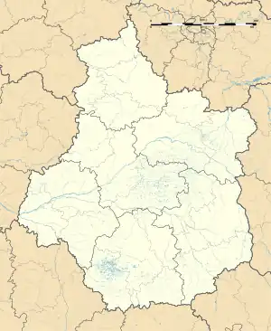 Annoix | |
| Coordinates: 46°57′39″N 2°32′06″E / 46.9608°N 2.535°E | |
| Country | France |
| Region | Centre-Val de Loire |
| Department | Cher |
| Arrondissement | Bourges |
| Canton | Trouy |
| Intercommunality | Bourges Plus |
| Government | |
| • Mayor (2020–2026) | Alain Mazé[1] |
| Area 1 | 11.79 km2 (4.55 sq mi) |
| Population | 245 |
| • Density | 21/km2 (54/sq mi) |
| Time zone | UTC+01:00 (CET) |
| • Summer (DST) | UTC+02:00 (CEST) |
| INSEE/Postal code | 18006 /18340 |
| Elevation | 142–179 m (466–587 ft) (avg. 175 m or 574 ft) |
| 1 French Land Register data, which excludes lakes, ponds, glaciers > 1 km2 (0.386 sq mi or 247 acres) and river estuaries. | |
Annoix (French pronunciation: [anwa]) is a commune in the Cher department in the Centre-Val de Loire region of France.
Geography
A farming area comprising the village and a hamlet situated by the banks of the river Auron some 12 miles (19 km) southeast of Bourges, at the junction of the D119, D953 and the D2076 roads.
Population
| Year | Pop. | ±% p.a. |
|---|---|---|
| 1968 | 189 | — |
| 1975 | 221 | +2.26% |
| 1982 | 286 | +3.75% |
| 1990 | 282 | −0.18% |
| 1999 | 263 | −0.77% |
| 2007 | 229 | −1.72% |
| 2012 | 232 | +0.26% |
| 2017 | 233 | +0.09% |
| Source: INSEE[3] | ||
Sights
See also
References
- ↑ "Répertoire national des élus: les maires". data.gouv.fr, Plateforme ouverte des données publiques françaises (in French). 2 December 2020.
- ↑ "Populations légales 2021". The National Institute of Statistics and Economic Studies. 28 December 2023.
- ↑ Population en historique depuis 1968, INSEE
Wikimedia Commons has media related to Annoix.
This article is issued from Wikipedia. The text is licensed under Creative Commons - Attribution - Sharealike. Additional terms may apply for the media files.