Araleri | |
|---|---|
Grama Panchayat | |
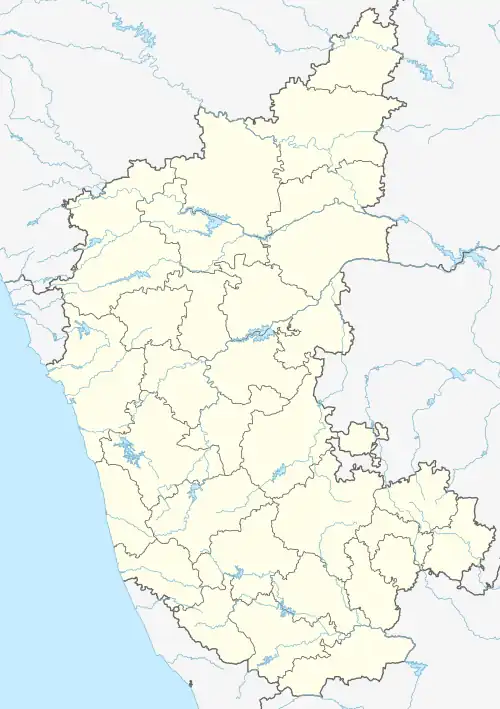 Araleri Location in Karnataka, India | |
| Coordinates: 12°59′04″N 77°59′10″E / 12.9844°N 77.9861°E | |
| Country | India |
| State | Karnataka |
| District | Kolar |
| Area | |
| • Total | 4.57 km2 (1.76 sq mi) |
| Elevation | 909 m (2,982 ft) |
| Population (2001) | |
| • Total | 1,650 |
| Languages | |
| • Official | Kannada |
| • Regional | Kannada |
| Time zone | UTC+5:30 (IST) |
| PIN | 563 130 |
| Telephone code | 08151 |
Araleri (Kannada: ಅರಳೇರಿ) is a gram panchayat village in Karnataka, India. Araleri is located in Malur Taluk of Kolar district which is also one of the constituency of Kolar Jilla Panchayat and Malur Taluk Panchayat, [1] at a distance of 6 km from the town of Malur and 32 km from Kolar.
Villages in Araleri Gram Panchayat
| Angasettihalli | Araleri |
| Bingipura | Chakanahalli |
| Geragadenahalli | Hulkur |
| Karikuchanahalli | Kundenahalli |
| Malur | Medahatti |
| Menasinatha | Mittiganahalli |
| Neelakanta Agrahara | Upparahalli |
| Veerapura |
References
- ↑ "Census of India : List of Villages > Karnataka > Kolar > Malur". Registrar General & Census Commissioner, India. Retrieved 21 October 2020. Census Village code - 622198.
External links
District HQ: Kolar | |
| Villages and Towns |
|
This article is issued from Wikipedia. The text is licensed under Creative Commons - Attribution - Sharealike. Additional terms may apply for the media files.