| Arnon | |
|---|---|
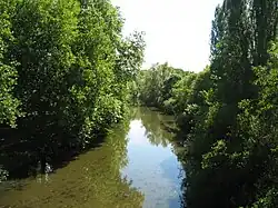 The Arnon at Chârost | |
  | |
| Location | |
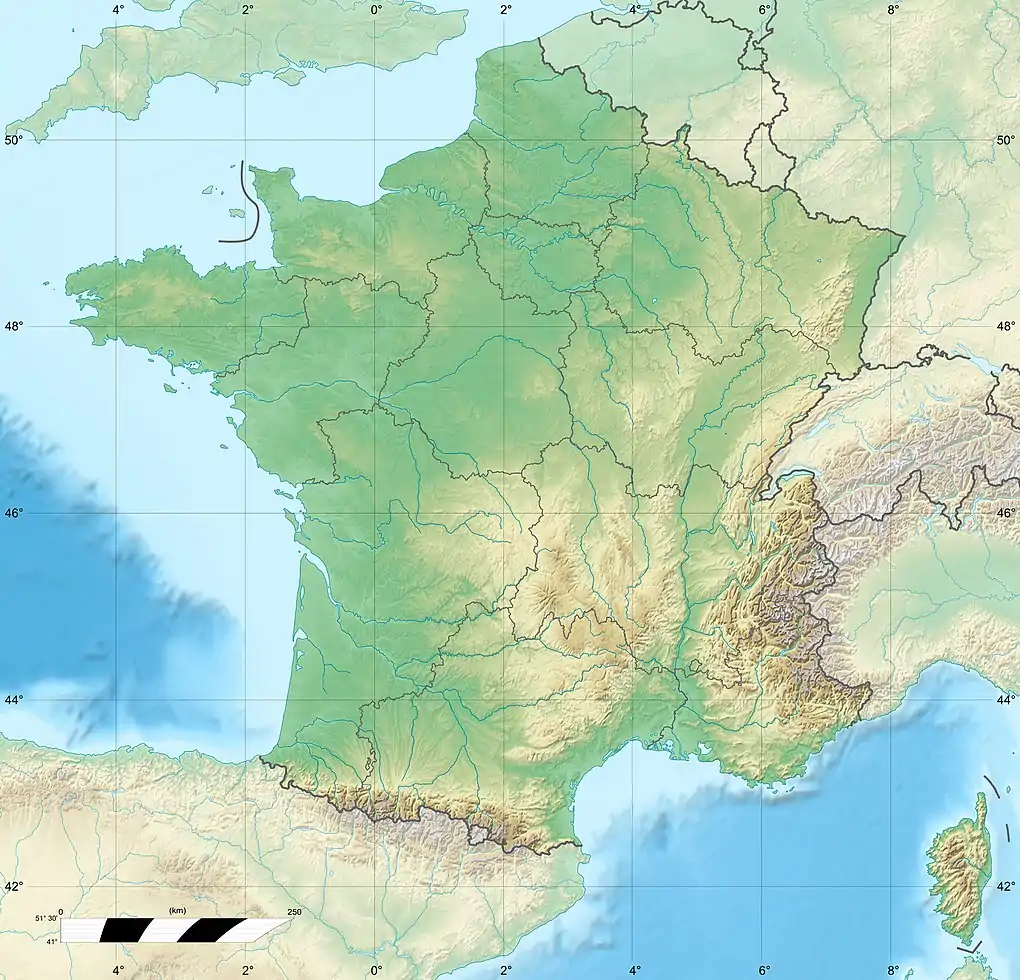
| Country | France |
| Physical characteristics | |
| Source | |
| • location | Limousin |
| Mouth | |
• location | Cher |
• coordinates | 47°13′1″N 2°0′42″E / 47.21694°N 2.01167°E |
| Length | 150.5 km (93.5 mi) |
| Basin size | 2,274 km2 (878 sq mi) |
| Basin features | |
| Progression | Cher→ Loire→ Atlantic Ocean |
| Tributaries | |
| • left | Théols |
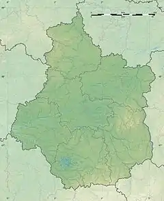
The Arnon (French pronunciation: [aʁnɔ̃]) is a 150.5 km (93.5 mi) long river in central France. It is a left tributary of the river Cher.[1] Its source is near the village of Préveranges, west of Montluçon. Its longest tributary is the Théols.[1] The Arnon flows generally north, through the following departments and towns:
The Arnon flows into the river Cher near Vierzon.
References
This article is issued from Wikipedia. The text is licensed under Creative Commons - Attribution - Sharealike. Additional terms may apply for the media files.