Artea
Castillo y Elejabeitia | |
|---|---|
.jpg.webp) | |
 Flag  Coat of arms | |
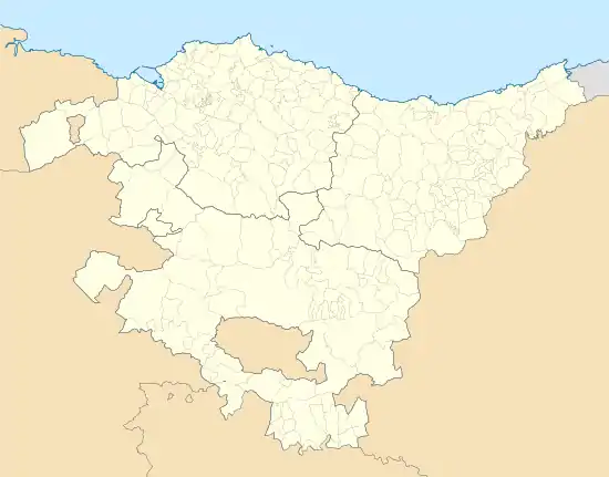 Artea Location of Artea within the Basque Country 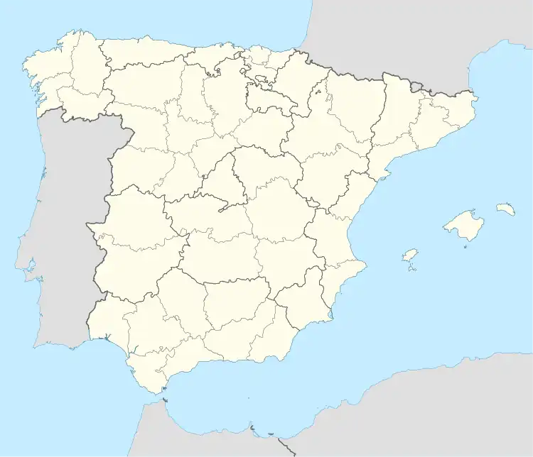 Artea Location of Artea within Spain | |
| Coordinates: 43°08′00″N 2°47′04″W / 43.13333°N 2.78444°W | |
| Country | |
| Autonomous community | |
| Province | Biscay |
| Comarca | Greater Bilbao |
| Area | |
| • Total | 12.40 km2 (4.79 sq mi) |
| Elevation | 125 m (410 ft) |
| Population (2018)[1] | |
| • Total | 735 |
| • Density | 59/km2 (150/sq mi) |
| Demonym | Basque: arteagatarra |
| Time zone | UTC+1 (CET) |
| • Summer (DST) | UTC+2 (CEST) |
| Postal code | 48142 |
| Official language(s) | Basque Spanish |
| Website | Official website |
Artea is a town and municipality located in the province of Biscay, in the autonomous community of Basque Country, northern Spain.
References
- ↑ Municipal Register of Spain 2018. National Statistics Institute.
External links
This article is issued from Wikipedia. The text is licensed under Creative Commons - Attribution - Sharealike. Additional terms may apply for the media files.