Asenray | |
|---|---|
Village | |
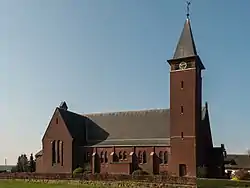 Onze Lieve Vrouw van Goede Raad en Heilige Jozef | |
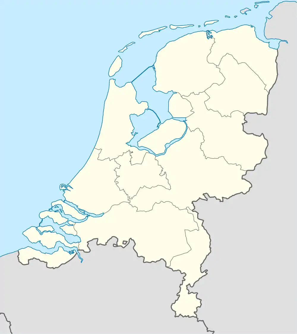 Asenray Location in the Netherlands 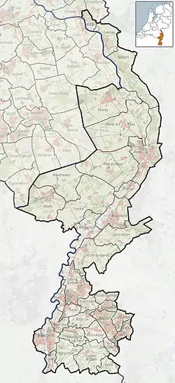 Asenray Location in the province of Limburg in the Netherlands | |
| Coordinates: 51°12′N 6°3′E / 51.200°N 6.050°E | |
| Country | Netherlands |
| Province | Limburg |
| Municipality | Roermond |
| Area | |
| • Total | 8.59 km2 (3.32 sq mi) |
| Elevation | 27 m (89 ft) |
| Population (2021)[1] | |
| • Total | 1,015 |
| • Density | 120/km2 (310/sq mi) |
| Time zone | UTC+1 (CET) |
| • Summer (DST) | UTC+2 (CEST) |
| Postal code | 6042[1] |
| Dialing code | 0475 |
Asenray (Dutch pronunciation: [ˈaːsə(n)raːi]; Limburgish: Azeraoj [ˈaːzəʀɔːj]) is a village in the Dutch province of Limburg. It is a part of the municipality of Roermond, and lies about 3 km east of Roermond.
It was first mentioned in 1267 as "vicum qui dicitur Asenraede", and means "forest cultivation by Aso (person)".[3] Asenray was home to 194 people in 1840. A church was built in 1932. In 1945, just before liberation, it was blown up by the Germans. In 1948, a new church was built.[4]
References
- 1 2 3 "Kerncijfers wijken en buurten 2021". Central Bureau of Statistics. Retrieved 25 April 2022.
- ↑ "Postcodetool for 6042AA". Actueel Hoogtebestand Nederland (in Dutch). Het Waterschapshuis. Retrieved 25 April 2022.
- ↑ "Asenray - (geografische naam)". Etymologiebank (in Dutch). Retrieved 25 April 2022.
- ↑ "Asenray". Plaatsengids (in Dutch). Retrieved 25 April 2022.
Wikimedia Commons has media related to Asenray.
This article is issued from Wikipedia. The text is licensed under Creative Commons - Attribution - Sharealike. Additional terms may apply for the media files.