| Atsutla Range | |
|---|---|
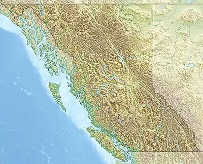 Location of the Atsutla Range in British Columbia | |
| Dimensions | |
| Area | 2,675 km2 (1,033 sq mi) |
| Geography | |
| Country | Canada |
| Province | British Columbia |
| Range coordinates | 59°16′N 131°21′W / 59.267°N 131.350°W |
| Parent range | Kawdy Plateau |
| Topo map | NTS 104O6 Tahoots Creek |
The Atsutla Range is a granitic mountain range on the Kawdy Plateau in northern British Columbia, Canada. The Atsutla Range lies south of the Yukon border in between Teslin Lake and the Stewart-Cassiar Highway, roughly 120 km (75 mi) north-northeast of Dease Lake.[1]
References
- ↑ Atsutla Range Archived November 12, 2007, at the Wayback Machine in the Canadian Mountain Encyclopedia
External links
This article is issued from Wikipedia. The text is licensed under Creative Commons - Attribution - Sharealike. Additional terms may apply for the media files.