Autouillet | |
|---|---|
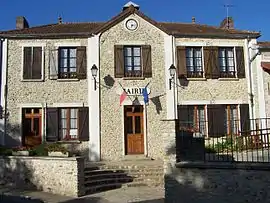 The town hall in Autouillet | |
.svg.png.webp) Coat of arms | |
Location of Autouillet | |
 Autouillet 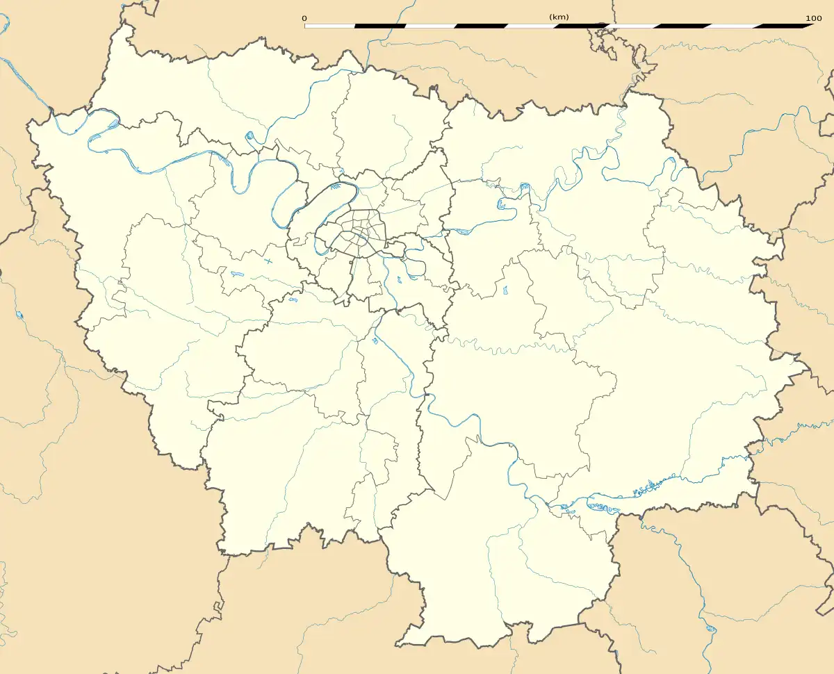 Autouillet | |
| Coordinates: 48°51′01″N 1°48′17″E / 48.8503°N 01.8047°E | |
| Country | France |
| Region | Île-de-France |
| Department | Yvelines |
| Arrondissement | Rambouillet |
| Canton | Aubergenville |
| Intercommunality | CC Cœur d'Yvelines |
| Government | |
| • Mayor (2020–2026) | Françoise Lénard[1] |
| Area 1 | 4.94 km2 (1.91 sq mi) |
| Population | 636 |
| • Density | 130/km2 (330/sq mi) |
| Time zone | UTC+01:00 (CET) |
| • Summer (DST) | UTC+02:00 (CEST) |
| INSEE/Postal code | 78036 /78770 |
| Elevation | 88–171 m (289–561 ft) (avg. 110 m or 360 ft) |
| 1 French Land Register data, which excludes lakes, ponds, glaciers > 1 km2 (0.386 sq mi or 247 acres) and river estuaries. | |
Autouillet (French pronunciation: [otujɛ]) is a commune in the Yvelines department in north-central France.
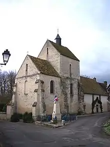
The church
Population
| Year | Pop. | ±% p.a. |
|---|---|---|
| 1968 | 149 | — |
| 1975 | 189 | +3.46% |
| 1982 | 270 | +5.23% |
| 1990 | 251 | −0.91% |
| 1999 | 348 | +3.70% |
| 2007 | 461 | +3.58% |
| 2012 | 476 | +0.64% |
| 2017 | 509 | +1.35% |
| Source: INSEE[3] | ||
See also
References
- ↑ "Répertoire national des élus: les maires" (in French). data.gouv.fr, Plateforme ouverte des données publiques françaises. 4 May 2022.
- ↑ "Populations légales 2021". The National Institute of Statistics and Economic Studies. 28 December 2023.
- ↑ Population en historique depuis 1968, INSEE
Wikimedia Commons has media related to Autouillet.
This article is issued from Wikipedia. The text is licensed under Creative Commons - Attribution - Sharealike. Additional terms may apply for the media files.