Ayalakab
Аялакаб ГӀяялахъяб | |
|---|---|
Selo | |
 Ayalakab  Ayalakab | |
| Coordinates: 42°25′N 47°27′E / 42.417°N 47.450°E[1] | |
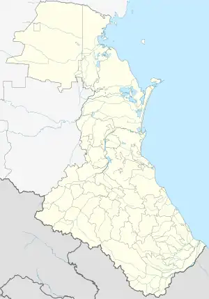
| Country | Russia |
| Region | Republic of Dagestan |
| District | Levashinsky District |
| Time zone | UTC+3:00 |
Ayalakab (Russian: Аялакаб; Dargwa: ГӀяялахъяб) is a rural locality (a selo) and the administrative centre of Ayalakabsky Selsoviet, Levashinsky District, Republic of Dagestan, Russia. The population was 391 as of 2010.[2] There are 8 streets.[3]
Geography
Ayalakab is located 19 km east of Levashi (the district's administrative centre) by road, on the Kakaozen River. Ayalakab and Purrimakhi are the nearest rural localities.[4]
Nationalities
Dargins live there.
References
- ↑ Село Аялакаб на карте
- ↑ "Всероссийская перепись населения 2010 года. Таблица № 11. Численность населения городских округов, муниципальных районов, городских и сельских поселений, городских и сельских населённых пунктов Республики Дагестан". Archived from the original on 2013-12-24. Retrieved 2020-11-29.
- ↑ Село Аялакаб на карте
- ↑ Расстояние от Левашей до Аялакаба ~ 19 км
This article is issued from Wikipedia. The text is licensed under Creative Commons - Attribution - Sharealike. Additional terms may apply for the media files.