 | ||||
|---|---|---|---|---|
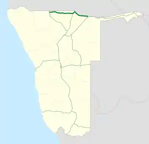 Map of the B10. | ||||
| Route information | ||||
| Maintained by Roads Authority Namibia | ||||
| Length | 439 km (273 mi) | |||
| Major junctions | ||||
| West end | ||||
| East end | ||||
| Location | ||||
| Country | Namibia | |||
| Highway system | ||||
| ||||
The B10 is a national road in northern Namibia, running from west to east from the Ohangwena Region to Rundu directly along the Angola Border.[1]
References
- ↑ "NamPol calls for vigilance on B10 road". Lela Mobile Online. Nampa. 11 August 2018.
| Freeways |
| |
|---|---|---|
| Trunk routes | ||
| Secondary routes | ||
| International routes | ||
This article is issued from Wikipedia. The text is licensed under Creative Commons - Attribution - Sharealike. Additional terms may apply for the media files.