Barkot | |
|---|---|
town | |
 | |
 Barkot Location in Uttarakhand, India  Barkot Barkot (India) | |
| Coordinates: 30°49′N 78°12′E / 30.82°N 78.20°E | |
| Country | |
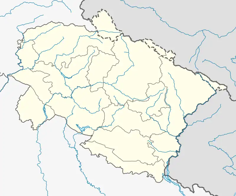
| State | Uttarakhand |
| District | Uttarkashi |
| Area | |
| • Total | 6 km2 (2 sq mi) |
| Elevation | 1,220 m (4,000 ft) |
| Population (2012) | |
| • Total | 16,568 |
| • Rank | 28 |
| • Density | 2,500/km2 (6,000/sq mi) |
| Languages | |
| • Official | Hindi |
| Time zone | UTC+5:30 (IST) |
| Vehicle registration | UK |
| Website | uk |
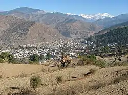
Barkot is a town, near Uttarkashi and a nagar palika in Uttarkashi District in the state of Uttarakhand, India. It is located on the banks of the Yamuna river.
Geography
Barkot is located at 30°49′N 78°12′E / 30.82°N 78.20°E.[1] It has an average elevation of 1,220 metres (4,003 feet).
Barkot is located in the bank of Yamuna river.
Demographics
As of 2001 India census,[2] Barkot had a population of 16568. Males constitute 53% of the population and females 47%. Barkot has an average literacy rate of 84.5%, higher than the national average of 74%; with 93% of the males and 77% of females literate. 54% of the population is under 6 years of age.
References
- ↑ Falling Rain Genomics, Inc - Barkot
- ↑ "Census of India 2001: Data from the 2001 Census, including cities, villages and towns (Provisional)". Census Commission of India. Archived from the original on 16 June 2004. Retrieved 1 November 2008.
External links
This article is issued from Wikipedia. The text is licensed under Creative Commons - Attribution - Sharealike. Additional terms may apply for the media files.