Beaucanton | |
|---|---|
 Beaucanton | |
| Coordinates: 49°02′18″N 79°14′20″W / 49.03833°N 79.23889°W[1] | |
| Country | |
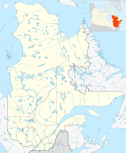
| Province | |
| Region | Nord-du-Québec |
| TE | Jamésie |
| Municipality | Baie-James |
| Government | |
| • Federal riding | Abitibi—Témiscamingue |
| • Prov. riding | Ungava |
| Area | |
| • Land | 10.92 km2 (4.22 sq mi) |
| Population (2011)[2] | |
| • Total | 116 |
| • Density | 10.6/km2 (27/sq mi) |
| • Change (2006–11) | |
| • Dwellings | 53 |
| Time zone | UTC−5 (EST) |
| • Summer (DST) | UTC−4 (EDT) |
Beaucanton is an unconstituted locality within the municipality of Baie-James in the Nord-du-Québec region of Quebec, Canada.
Demographics
In the 2021 Census of Population conducted by Statistics Canada, Beaucanton had a population of 153 living in 73 of its 79 total private dwellings, a change of 0.7% from its 2016 population of 152. With a land area of 28.21 km2 (10.89 sq mi), it had a population density of 5.4/km2 (14.0/sq mi) in 2021.[3]
References
- ↑ "Banque de noms de lieux du Québec: Reference number 4161". toponymie.gouv.qc.ca (in French). Commission de toponymie du Québec.
- 1 2 "Beaucanton, Quebec (Code 240229) Census Profile". 2011 census. Government of Canada - Statistics Canada.
- ↑ "Population and dwelling counts: Canada and designated places". Statistics Canada. February 9, 2022. Retrieved Sep 2, 2022.
This article is issued from Wikipedia. The text is licensed under Creative Commons - Attribution - Sharealike. Additional terms may apply for the media files.