Bodonhely | |
|---|---|
 Flag  Coat of arms | |
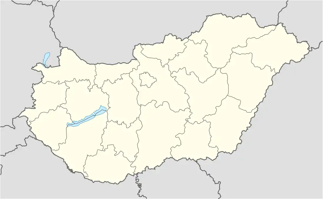 Bodonhely Location of Bodonhely in Hungary | |
| Coordinates: 47°33′50″N 17°24′23″E / 47.5638°N 17.4063°E | |
| Country | Hungary |
| Region | Western Transdanubia |
| County | Győr-Moson-Sopron |
| Area | |
| • Total | 11.1 km2 (4.3 sq mi) |
| Population (2012)[2] | |
| • Total | 277 |
| • Density | 25/km2 (65/sq mi) |
| Time zone | UTC+1 (CET) |
| • Summer (DST) | UTC+2 (CEST) |
| Postal code | 9134 |
| Area code | +36 96 |
| Website | http://bodonhely.hu/ |
Bodonhely is a village in Győr-Moson-Sopron county, Hungary.
References
- ↑ Bodonhely at the Hungarian Central Statistical Office (Hungarian).
- ↑ Bodonhely at the Hungarian Central Statistical Office (Hungarian). 2012
External links
- Street map (in Hungarian)
This article is issued from Wikipedia. The text is licensed under Creative Commons - Attribution - Sharealike. Additional terms may apply for the media files.