Booth, Alabama | |
|---|---|
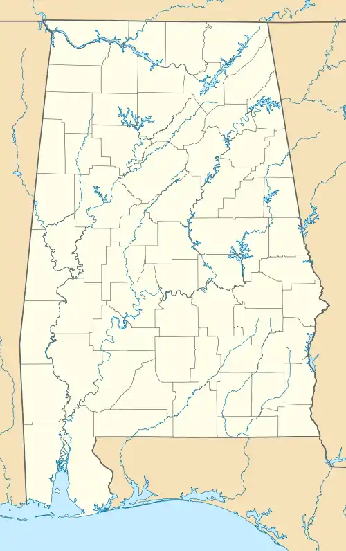 Booth Location in Alabama | |
| Coordinates: 32°30′01″N 86°34′19″W / 32.50028°N 86.57194°W | |
| Country | United States |
| State | Alabama |
| County | Autauga |
| Elevation | 282 ft (86 m) |
| Time zone | UTC-6 (Central (CST)) |
| • Summer (DST) | UTC-5 (CDT) |
| ZIP code | 36008 |
| Area code(s) | 205, 659 |
| GNIS feature ID | 114739[1] |
Booth is an unincorporated community in Autauga County, Alabama, United States. It was named after the Booth family. Booth lies along U.S. Route 82 8 mi (13 km) northwest of the city of Prattville, the county seat of Autauga County. US 82 also runs northwest 29 mi (47 km) to Maplesville.[2] It has a post office that was established in 1899.[3]
Booth is part of the Montgomery Metropolitan Statistical Area.
References
- ↑ "Booth". Geographic Names Information System. United States Geological Survey, United States Department of the Interior.
- ↑ Rand McNally. The Road Atlas '08. Chicago: Rand McNally, 2008, p. 4.
- ↑ Foscue, Virginia O. (1989). Place Names in Alabama - Virginia O. Foscue - Google Books. ISBN 9780817304102. Retrieved August 2, 2014.
Municipalities and communities of Autauga County, Alabama, United States | ||
|---|---|---|
| Cities | 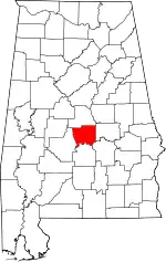 Map of Alabama highlighting Autauga County | |
| Towns | ||
| CDPs | ||
| Unincorporated communities | ||
| Ghost town | ||
| Footnotes | ‡This populated place also has portions in an adjacent county or counties | |
This article is issued from Wikipedia. The text is licensed under Creative Commons - Attribution - Sharealike. Additional terms may apply for the media files.