Bruis | |
|---|---|
Part of Valdoule | |
Location of Bruis | |
 Bruis 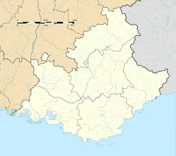 Bruis | |
| Coordinates: 44°28′08″N 5°30′52″E / 44.4689°N 5.5144°E | |
| Country | France |
| Region | Provence-Alpes-Côte d'Azur |
| Department | Hautes-Alpes |
| Arrondissement | Gap |
| Canton | Serres |
| Commune | Valdoule |
| Area 1 | 25.15 km2 (9.71 sq mi) |
| Population (2021)[1] | 80 |
| • Density | 3.2/km2 (8.2/sq mi) |
| Time zone | UTC+01:00 (CET) |
| • Summer (DST) | UTC+02:00 (CEST) |
| Postal code | 05150 |
| Elevation | 655–1,521 m (2,149–4,990 ft) (avg. 708 m or 2,323 ft) |
| 1 French Land Register data, which excludes lakes, ponds, glaciers > 1 km2 (0.386 sq mi or 247 acres) and river estuaries. | |
Bruis (French pronunciation: [bʁɥis]) is a former commune in the Hautes-Alpes department in southeastern France. On 1 July 2017, it was merged into the new commune Valdoule.[2]
Population
| Year | Pop. | ±% |
|---|---|---|
| 1962 | 87 | — |
| 1968 | 93 | +6.9% |
| 1975 | 85 | −8.6% |
| 1982 | 69 | −18.8% |
| 1990 | 59 | −14.5% |
| 1999 | 73 | +23.7% |
| 2008 | 65 | −11.0% |
See also
References
- ↑ "Populations légales 2021" [Legal populations 2021] (PDF) (in French). INSEE. December 2023.
- ↑ Arrêté préfectoral Archived 2017-10-03 at the Wayback Machine 24 March 2017 (in French)
Wikimedia Commons has media related to Bruis.
This article is issued from Wikipedia. The text is licensed under Creative Commons - Attribution - Sharealike. Additional terms may apply for the media files.