Burglauer | |
|---|---|
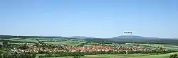 Panorama view of Burglauer | |
 Coat of arms | |
Location of Burglauer within Rhön-Grabfeld district 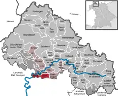 | |
 Burglauer 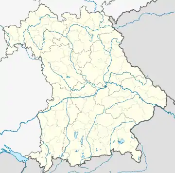 Burglauer | |
| Coordinates: 50°16′N 10°11′E / 50.267°N 10.183°E | |
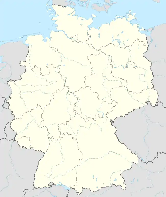
| Country | Germany |
| State | Bavaria |
| Admin. region | Lower Franconia |
| District | Rhön-Grabfeld |
| Municipal assoc. | Bad Neustadt an der Saale |
| Government | |
| • Mayor (2020–26) | Marco Heinickel[1] (CSU) |
| Area | |
| • Total | 13.95 km2 (5.39 sq mi) |
| Elevation | 240 m (790 ft) |
| Population (2022-12-31)[2] | |
| • Total | 1,744 |
| • Density | 130/km2 (320/sq mi) |
| Time zone | UTC+01:00 (CET) |
| • Summer (DST) | UTC+02:00 (CEST) |
| Postal codes | 97724 |
| Dialling codes | 09733 |
| Vehicle registration | NES |
| Website | www.burglauer.de |
Burglauer is a municipality in the district of Rhön-Grabfeld in Bavaria, Germany. It lies on the river Lauer.
Its history as a municipality dates back to 1818. As of 2016-12-31, it had a population of 1,664.[3]
References
- ↑ Liste der ersten Bürgermeister/Oberbürgermeister in kreisangehörigen Gemeinden, Bayerisches Landesamt für Statistik, 15 July 2021.
- ↑ Genesis Online-Datenbank des Bayerischen Landesamtes für Statistik Tabelle 12411-003r Fortschreibung des Bevölkerungsstandes: Gemeinden, Stichtag (Einwohnerzahlen auf Grundlage des Zensus 2011)
- ↑ Population statistics, Genesis Online-Datenbank des Bayerischen Landesamtes für Statistik
External links
This article is issued from Wikipedia. The text is licensed under Creative Commons - Attribution - Sharealike. Additional terms may apply for the media files.