Chakkupallam | |
|---|---|
Village | |
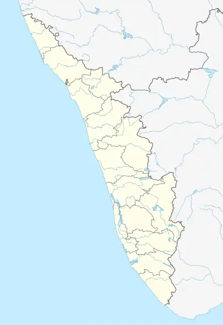 Chakkupallam Location in Kerala, India 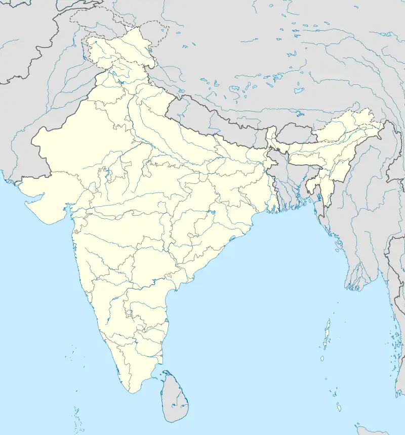 Chakkupallam Chakkupallam (India) | |
| Coordinates: 9°39′10″N 77°07′21″E / 9.6527°N 77.1226°E | |
| Country | |
| State | Kerala |
| District | Idukki |
| Taluk | Udumbanchola |
| Government | |
| • Type | Grama Panchayat |
| Area | |
| • Total | 28.33 km2 (10.94 sq mi) |
| Population (2011) | |
| • Total | 12,609 |
| • Density | 450/km2 (1,200/sq mi) |
| Languages | |
| • Official | Malayalam, English |
| Time zone | UTC+5:30 (IST) |
| Vehicle registration | KL-37 |
Chakkupallam is a Grama Panchayat and Village in Idukki district in the Indian state of Kerala.[1] The administrative capital(Panchayat Office) and village center of Chakkupallam Grama Panchayat is Anakkara, located on Kumily-Munnar state highway. The town has a large church, built in 2000.
Demographics
As of 2011 Census, Chakkupallam had a population of 12,609 with 6,254 males and 6,355 females. Chakkupallam village has an area of 28.33 km2 (10.94 sq mi) with 3,429 families residing in it. In Chakkupallam, 10% of the population was under 6 years of age. Chakkupallam had an average literacy of 88% higher than the national average of 74% and lower than state average of 94%.[2]
References
- ↑ "Census of India : Villages with population 5000 & above". Registrar General & Census Commissioner, India. Archived from the original on 8 December 2008. Retrieved 10 December 2008.
- ↑ Kerala, Directorate of Census Operations. District Census Handbook, Idukki (PDF). Thiruvananthapuram: Directorateof Census Operations,Kerala. p. 58,59. Retrieved 14 July 2020.
This article is issued from Wikipedia. The text is licensed under Creative Commons - Attribution - Sharealike. Additional terms may apply for the media files.