Chaves | |
|---|---|
Municipality | |
 Flag  Seal | |
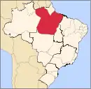
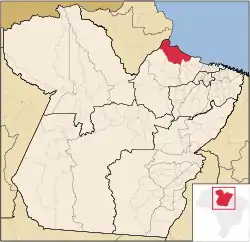 Location in the State of Pará | |
 Chaves | |
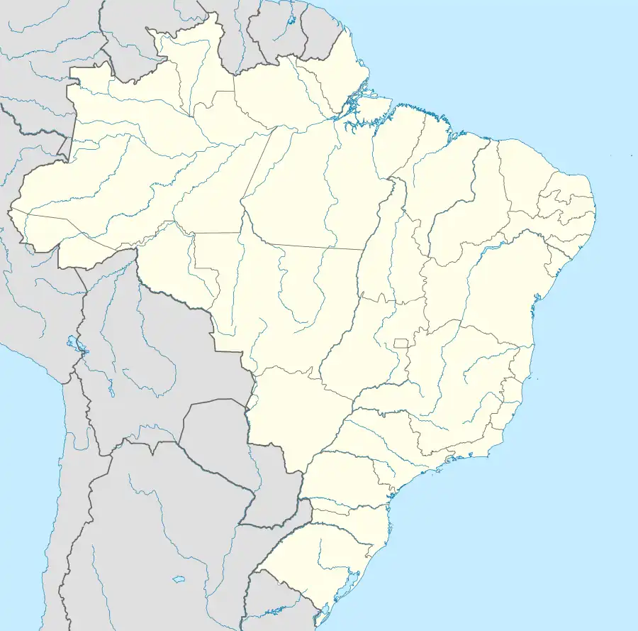
| Coordinates: 00°09′36″S 49°59′16″W / 0.16000°S 49.98778°W | |
| Country | |
| Region | North |
| State | |
| Area | |
| • Total | 13,084.879 km2 (5,052.100 sq mi) |
| Elevation | 6 m (20 ft) |
| Population (2020 [1]) | |
| • Total | 23,948 |
| • Density | 1.3/km2 (3/sq mi) |
| Time zone | UTC−3 (BRT) |
| Postal Code | 68880-000 |
Chaves is a Brazilian municipality located in the state of Pará. Its population as of 2020 is estimated to be 23,948 people. The area of the municipality is 13,084.879 km². The city belongs to the mesoregion Marajó and to the microregion of Arari.
The municipality is contained in the 59,985 square kilometres (23,160 sq mi) Marajó Archipelago Environmental Protection Area, a sustainable use conservation unit established in 1989 to protect the environment of the delta region.[2]
References
- ↑ IBGE 2020
- ↑ APA Arquipélago do Marajó (in Portuguese), ISA: Instituto Socioambiental, retrieved 2016-06-27
Capital: Belém | |||||||||||||||
| Mesoregion Lower Amazonas |
|  | |||||||||||||
| Mesoregion Marajó |
| ||||||||||||||
| Mesoregion Metropolitan Belém |
| ||||||||||||||
| Mesoregion Northeastern Pará |
| ||||||||||||||
| Mesoregion Southeastern Pará |
| ||||||||||||||
| Mesoregion Southwestern Pará |
| ||||||||||||||
This article is issued from Wikipedia. The text is licensed under Creative Commons - Attribution - Sharealike. Additional terms may apply for the media files.