Chilpi | |
|---|---|
town | |
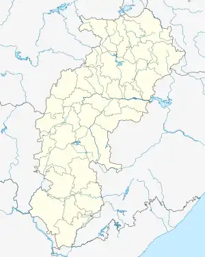 Chilpi Location in Chhattisgarh, India 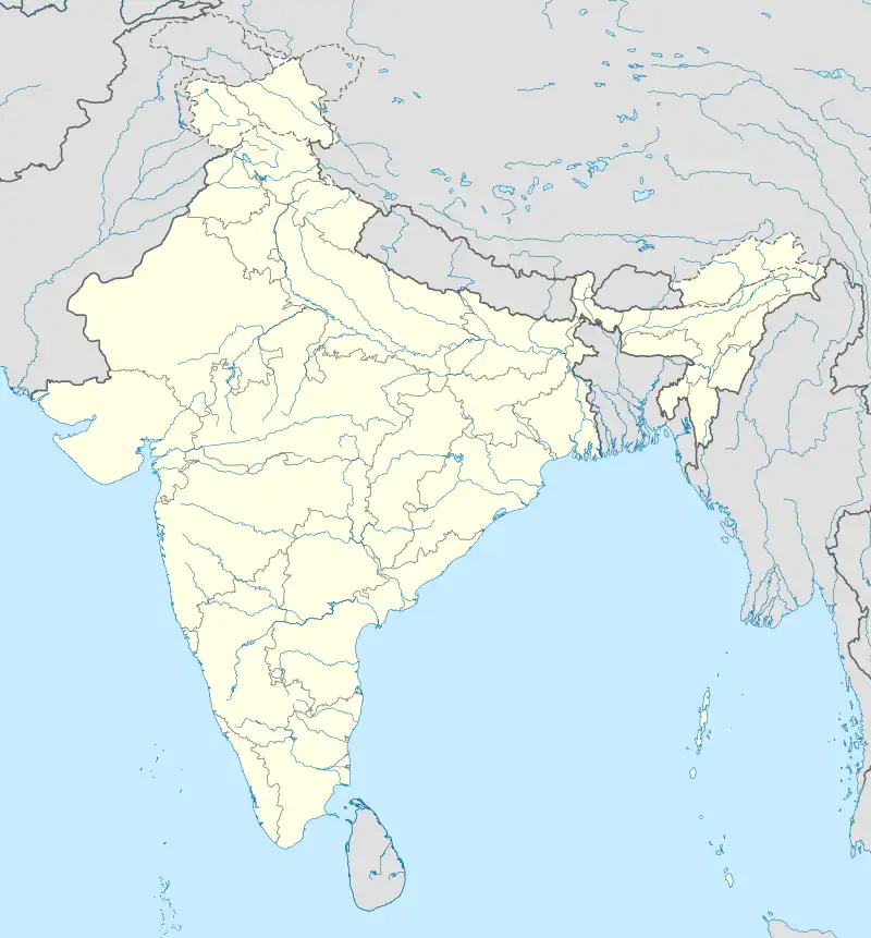 Chilpi Chilpi (India) | |
| Coordinates: 22°10′0″N 81°03′0″E / 22.16667°N 81.05000°E | |
| Country | |
| State | Chhattisgarh |
| District | Kabirdham |
| Elevation | 807 m (2,648 ft) |
| Languages | |
| • Official | Hindi, Chhattisgarhi |
| Time zone | UTC+5:30 (IST) |
| Vehicle registration | CG |
| Coastline | 0 kilometres (0 mi) |
Chilpi is a town in Kabirdham district of Chhattisgarh, India
Geography
It is located at an elevation of 807 m above MSL.[1]
Location
National Highway 12A passes through Chilpi. Nearest airport is Raipur Airport.
References
- ↑ http://www.fallingrain.com/world/IN/37/Chilpi.html Map and weather of Chilpi
External links
This article is issued from Wikipedia. The text is licensed under Creative Commons - Attribution - Sharealike. Additional terms may apply for the media files.