| Cincar | |
|---|---|
| Цинцар | |
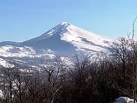 A view of the Cincar peak | |
| Highest point | |
| Elevation | 2,006 m (6,581 ft) |
| Prominence | 790 m (2,590 ft) |
| Isolation | 43 km (27 mi) |
| Coordinates | 43°54′08″N 17°03′46″E / 43.90222°N 17.06278°E |
| Geography | |
| Location | |
| Parent range | Dinaric Alps |
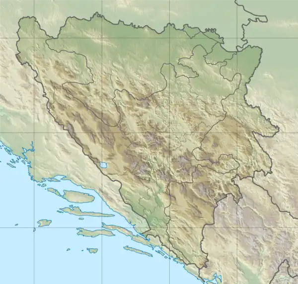
Cincar (Serbian Cyrillic: Цинцар) is a mountain in the Dinaric Alps of western Bosnia and Herzegovina, located at 43°54′08″N 17°03′46″E / 43.90222°N 17.06278°E between Livno, Kupres and Glamoč. The highest peak is the eponymous Cincar peak at 2,006 m (6,581 ft).[1]
References
- ↑ "Dinaric Alps". SummitPost.org. Retrieved 2010-07-10.
Cincar (2,006 m) incl. Krug-planina/Krug-plateau, Malovan (1,826 m)
External links
Wikimedia Commons has media related to Cincar.
This article is issued from Wikipedia. The text is licensed under Creative Commons - Attribution - Sharealike. Additional terms may apply for the media files.