Cognin | |
|---|---|
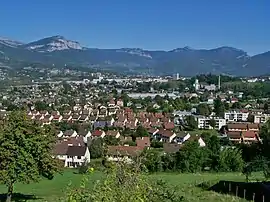 A general view of Cognin | |
.svg.png.webp) Coat of arms | |
Location of Cognin | |
 Cognin 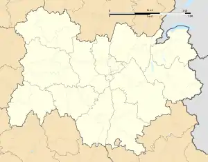 Cognin | |
| Coordinates: 45°33′47″N 5°54′00″E / 45.563°N 05.900°E | |
| Country | France |
| Region | Auvergne-Rhône-Alpes |
| Department | Savoie |
| Arrondissement | Chambéry |
| Canton | Chambéry-3 |
| Intercommunality | Grand Chambéry |
| Government | |
| • Mayor (2020–2026) | Franck Morat[1] |
| Area 1 | 4.48 km2 (1.73 sq mi) |
| Population | 6,520 |
| • Density | 1,500/km2 (3,800/sq mi) |
| Time zone | UTC+01:00 (CET) |
| • Summer (DST) | UTC+02:00 (CEST) |
| INSEE/Postal code | 73087 /73160 |
| Elevation | 269–451 m (883–1,480 ft) (avg. 299 m or 981 ft) |
| Website | www.cognin.fr |
| 1 French Land Register data, which excludes lakes, ponds, glaciers > 1 km2 (0.386 sq mi or 247 acres) and river estuaries. | |
Cognin is a commune in the Savoie department in the Auvergne-Rhône-Alpes region in south-eastern France.
Geography
The river Hyères forms the commune's western border.
Population
| Year | Pop. | ±% p.a. |
|---|---|---|
| 1968 | 3,995 | — |
| 1975 | 5,397 | +4.39% |
| 1982 | 6,085 | +1.73% |
| 1990 | 5,779 | −0.64% |
| 1999 | 5,900 | +0.23% |
| 2007 | 5,857 | −0.09% |
| 2012 | 5,920 | +0.21% |
| 2017 | 6,204 | +0.94% |
| Source: INSEE[3] | ||
See also
References
- ↑ "Répertoire national des élus: les maires" (in French). data.gouv.fr, Plateforme ouverte des données publiques françaises. 13 September 2022.
- ↑ "Populations légales 2021". The National Institute of Statistics and Economic Studies. 28 December 2023.
- ↑ Population en historique depuis 1968, INSEE
External links
Wikimedia Commons has media related to Cognin.
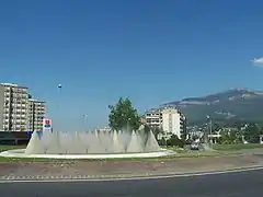
Cognin centre.
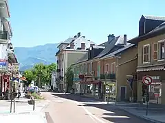
Route nationale 6 in Cognin centre.
This article is issued from Wikipedia. The text is licensed under Creative Commons - Attribution - Sharealike. Additional terms may apply for the media files.