Coskata, Massachusetts | |
|---|---|
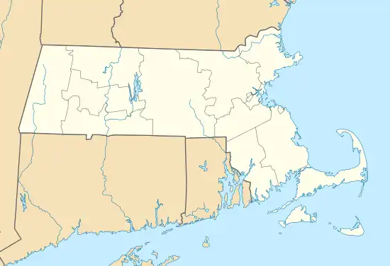 Coskata, Massachusetts Location within the state of Massachusetts | |
| Coordinates: 41°21′15″N 70°1′13″W / 41.35417°N 70.02028°W | |
| Country | United States |
| State | Massachusetts |
| County | Nantucket |
| Elevation | 3 ft (0.9 m) |
| Time zone | UTC-5 (Eastern (EST)) |
| • Summer (DST) | UTC-4 (EDT) |
| GNIS feature ID | 616850[1] |
Coskata (also Coskaty, Cross Katy, or Koskata Head) is a village in Nantucket, Massachusetts, United States. Its elevation is 3 feet (1 m), and it is located at 41°21′15″N 70°1′13″W / 41.35417°N 70.02028°W (41.3542871, -70.0202925), 2 miles (3 km) northwest of Wauwinet.[1]
References
Municipalities and communities of Nantucket County, Massachusetts, United States | ||
|---|---|---|
| Town | 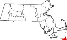 | |
| CDPs | ||
| Other villages | ||
This article is issued from Wikipedia. The text is licensed under Creative Commons - Attribution - Sharealike. Additional terms may apply for the media files.