Dakhala | |
|---|---|
village | |
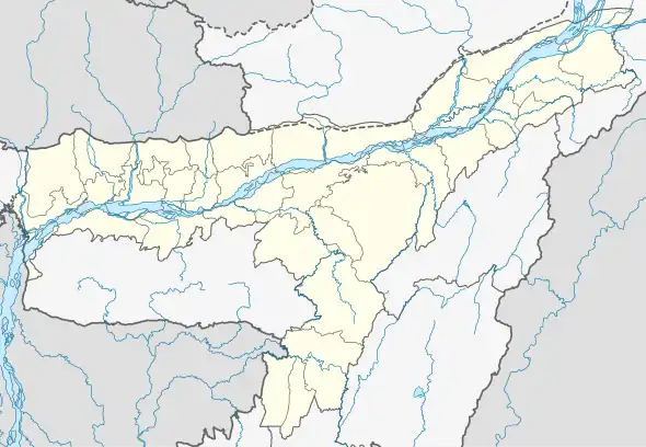 Dakhala Location in Kamrup, India 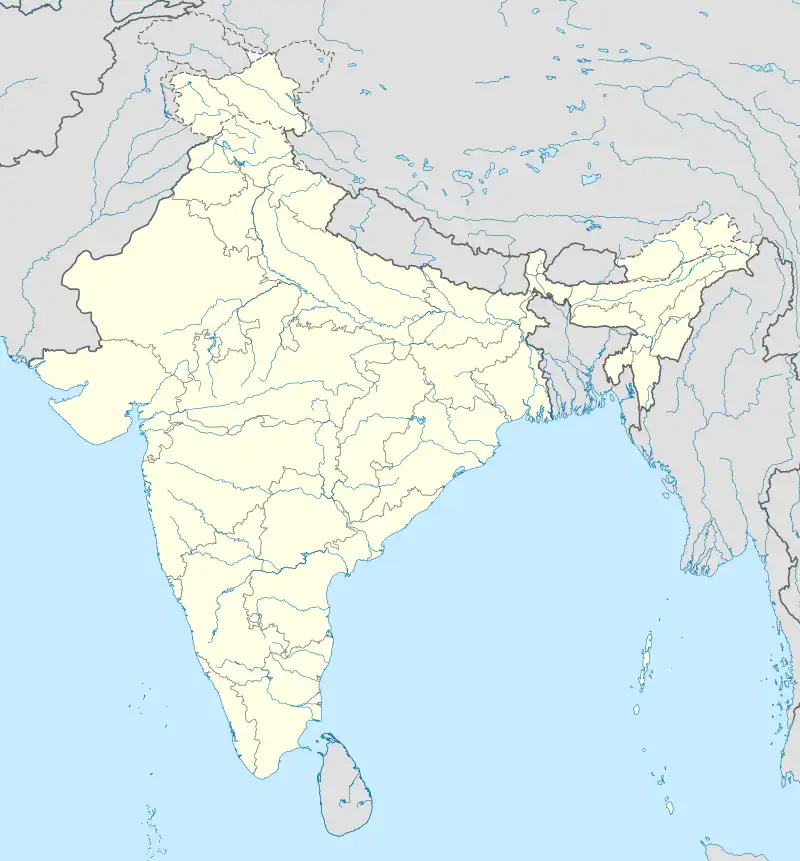 Dakhala Dakhala (India) | |
| Coordinates: 26°06′58″N 91°29′53″E / 26.116°N 91.498°E | |
| Country | |
| State | Assam |
| District | Kamrup |
| Elevation | 46 m (151 ft) |
| Population (2011) | |
| • Total | 4,049 |
| Languages | |
| Time zone | UTC+5:30 (IST) |
| PIN | 781112 |
| Vehicle registration | AS |
Dakhala is a town in Kamrup district of Assam, situated on the south bank of the Brahmaputra River.[1]
See also
- Bijoynagar City
References
- ↑ "Dakhala Town Pincode". pincode.org.in. Retrieved 18 February 2015.
This article is issued from Wikipedia. The text is licensed under Creative Commons - Attribution - Sharealike. Additional terms may apply for the media files.