Dogliola | |
|---|---|
| Comune di Dogliola | |
 | |
Location of Dogliola | |
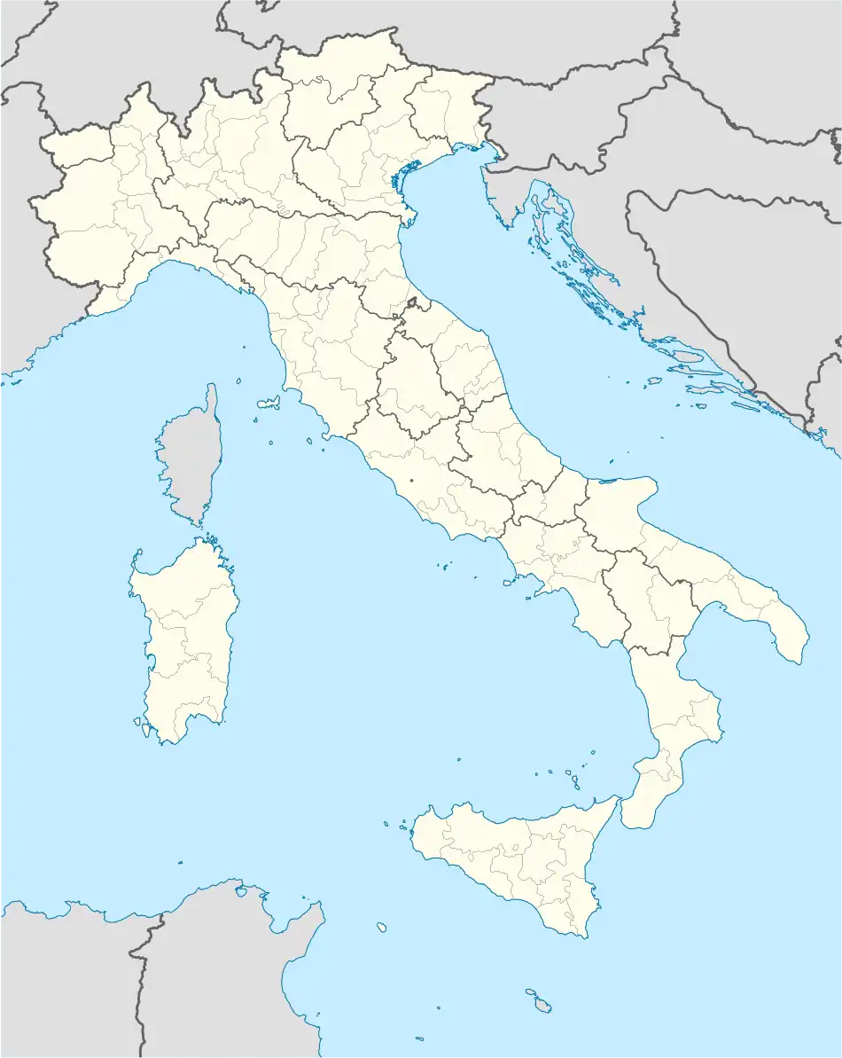 Dogliola Location of Dogliola in Italy 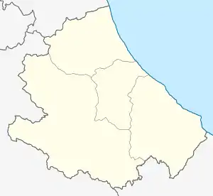 Dogliola Dogliola (Abruzzo) | |
| Coordinates: 41°57′N 14°38′E / 41.950°N 14.633°E | |
| Country | Italy |
| Region | Abruzzo |
| Province | Chieti (CH) |
| Government | |
| • Mayor | Rocco D'Adamio |
| Area | |
| • Total | 11 km2 (4 sq mi) |
| Elevation | 445 m (1,460 ft) |
| Population (31 July 2017)[2] | |
| • Total | 356 |
| • Density | 32/km2 (84/sq mi) |
| Demonym | Dogliolesi |
| Time zone | UTC+1 (CET) |
| • Summer (DST) | UTC+2 (CEST) |
| Postal code | 66050 |
| Dialing code | 0873 |
| Patron saint | St. Roch, St. Louis |
| Saint day | 21 June |
| Website | Official website |
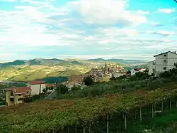
Dogliola (Abruzzese: Degliòle) is a village and comune in the province of Chieti in Abruzzo, Italy, 25 kilometres (16 mi) from Vasto, at an elevation of 445 m above sea level, overlooking the river Trigno valley.
References
Wikimedia Commons has media related to Dogliola.
- ↑ "Superficie di Comuni Province e Regioni italiane al 9 ottobre 2011". Italian National Institute of Statistics. Retrieved 16 March 2019.
- ↑ All demographics and other statistics from the Italian statistical institute (Istat)
This article is issued from Wikipedia. The text is licensed under Creative Commons - Attribution - Sharealike. Additional terms may apply for the media files.