Dolus-le-Sec | |
|---|---|
Location of Dolus-le-Sec | |
 Dolus-le-Sec 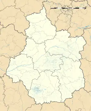 Dolus-le-Sec | |
| Coordinates: 47°09′56″N 0°53′36″E / 47.1656°N 0.8933°E | |
| Country | France |
| Region | Centre-Val de Loire |
| Department | Indre-et-Loire |
| Arrondissement | Loches |
| Canton | Loches |
| Intercommunality | CC Loches Sud Touraine |
| Government | |
| • Mayor (2020–2026) | Régis Girard[1] |
| Area 1 | 27.27 km2 (10.53 sq mi) |
| Population | 664 |
| • Density | 24/km2 (63/sq mi) |
| Time zone | UTC+01:00 (CET) |
| • Summer (DST) | UTC+02:00 (CEST) |
| INSEE/Postal code | 37097 /37310 |
| Elevation | 89–127 m (292–417 ft) |
| 1 French Land Register data, which excludes lakes, ponds, glaciers > 1 km2 (0.386 sq mi or 247 acres) and river estuaries. | |
Dolus-le-Sec (French pronunciation: [dɔly lə sɛk]) is a commune in the Indre-et-Loire department in central France.
Population
| Year | Pop. | ±% p.a. |
|---|---|---|
| 1968 | 562 | — |
| 1975 | 481 | −2.20% |
| 1982 | 437 | −1.36% |
| 1990 | 507 | +1.87% |
| 1999 | 538 | +0.66% |
| 2007 | 637 | +2.13% |
| 2012 | 675 | +1.17% |
| 2017 | 671 | −0.12% |
| Source: INSEE[3] | ||
See also
References
- ↑ "Répertoire national des élus: les maires". data.gouv.fr, Plateforme ouverte des données publiques françaises (in French). 2 December 2020.
- ↑ "Populations légales 2021". The National Institute of Statistics and Economic Studies. 28 December 2023.
- ↑ Population en historique depuis 1968, INSEE
Wikimedia Commons has media related to Dolus-le-Sec.
This article is issued from Wikipedia. The text is licensed under Creative Commons - Attribution - Sharealike. Additional terms may apply for the media files.