| Eagle Cap | |
|---|---|
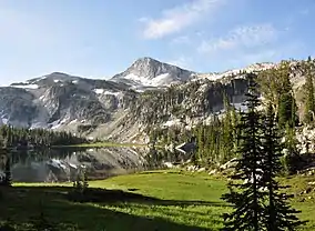 Eagle Cap above Mirror Lake | |
| Highest point | |
| Elevation | 9,577 ft (2,919 m) NAVD 88[1] |
| Prominence | 1,212 ft (369 m)[1] |
| Listing | Oregon county high points |
| Coordinates | 45°09′49″N 117°18′06″W / 45.1634868°N 117.3015695°W[2] |
| Geography | |
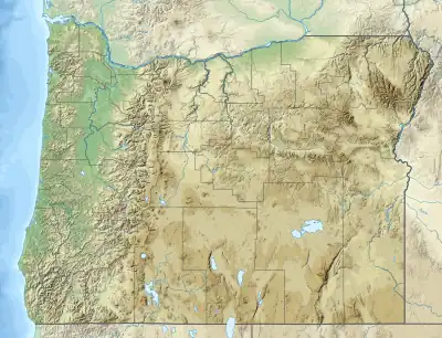 Eagle Cap Location in Oregon 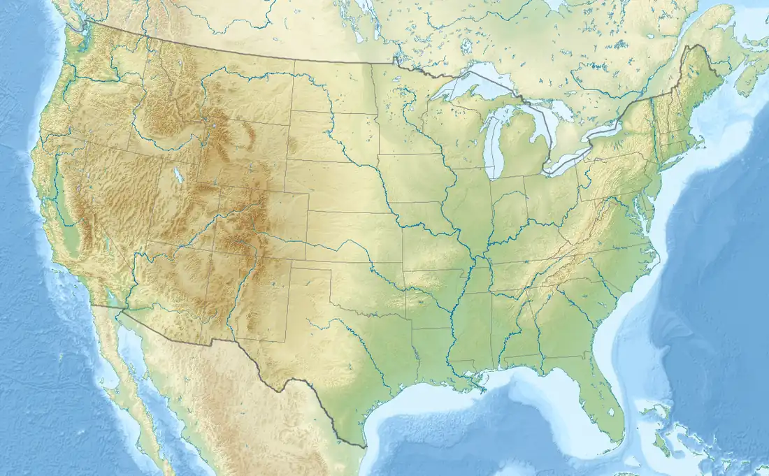 Eagle Cap Location in the United States | |
| Location | Wallowa-Whitman National Forest, Union County, Oregon, U.S. |
| Parent range | Wallowa Mountains |
| Topo map | USGS Eagle Cap |
| Climbing | |
| Easiest route | Scramble |
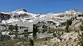
Eagle Cap (9,577 feet (2,919 m) is a mountain peak located in the Wallowa Mountains, Wallowa–Whitman National Forest, in the U.S. state of Oregon.[2] The peak is in the Eagle Cap Wilderness and the Benson Glacier is along the east flank of the summit ridge. Its summit is the highest point in Union County[1]
References
- 1 2 3 "Eagle Cap, Oregon". peakbagger.com. Retrieved 2021-12-03.
- 1 2 "Eagle Cap". Geographic Names Information System. United States Geological Survey, United States Department of the Interior. Retrieved 2012-07-28.
Gallery
 Glacier Peak (left) with Eagle Cap (right) from Glacier Lake
.jpg.webp) Aerial view of Glacier Peak in upper left, Eagle Cap shaded in upper right,
Aerial view of Glacier Peak in upper left, Eagle Cap shaded in upper right,
Prospect Lake lower left, Glacier Lake to right.
External links
- "Eagle Cap". SummitPost.org.
This article is issued from Wikipedia. The text is licensed under Creative Commons - Attribution - Sharealike. Additional terms may apply for the media files.