Egede | |
|---|---|
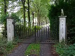 Gates to the former havezate | |
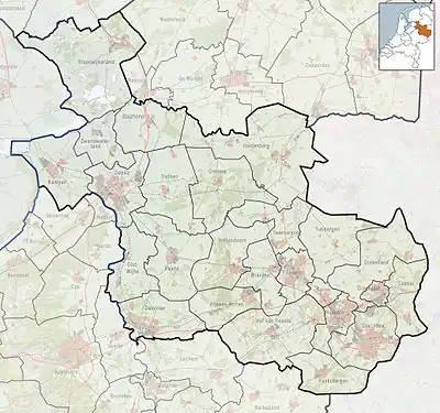 Egede Location in the Netherlands 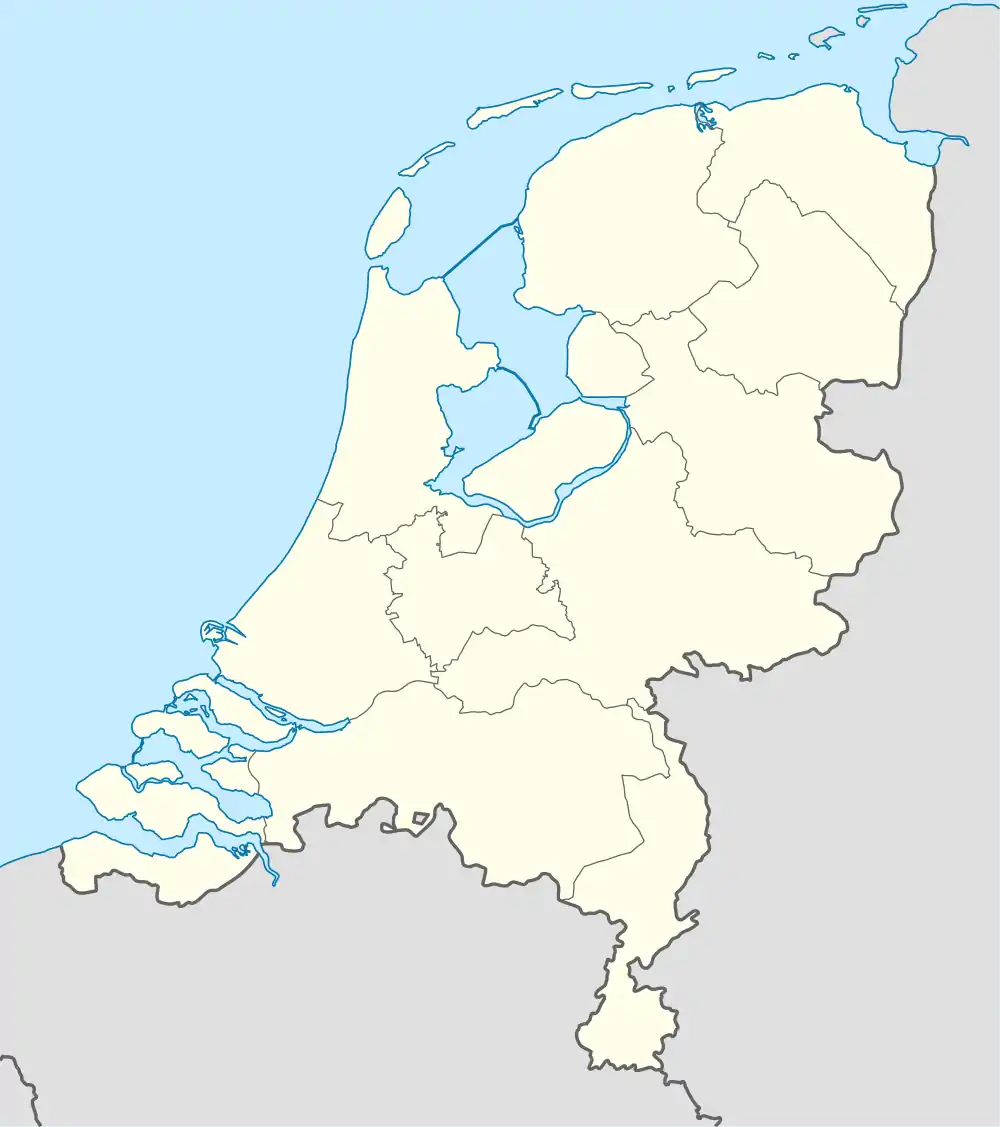 Egede Egede (Netherlands) | |
| Coordinates: 52°26′24″N 6°27′16″E / 52.44009°N 6.45431°E | |
| Country | Netherlands |
| Province | Overijssel |
| Municipality | Hellendoorn |
| Area | |
| • Total | 19.73 km2 (7.62 sq mi) |
| Elevation | 11 m (36 ft) |
| Population (2021)[1] | |
| • Total | 815 |
| • Density | 41/km2 (110/sq mi) |
| Time zone | UTC+1 (CET) |
| • Summer (DST) | UTC+2 (CEST) |
| Postal code | 7447[1] |
| Dialing code | 0546 |
Egede is a hamlet in the Dutch province of Overijssel. It is located in the municipality of Hellendoorn, about 9 km north of the town of Nijverdal.[3]
It was first mentioned in 1331 as Eghen. The etymology is unclear.[4] The postal authorities have placed it under Hellendoorn.[5] In 1840, it was home to 177 people. An havezate (manor house) was known to exist in Egede as early as 1382. It has long since been demolished, and only the gates remain.[6]
References
- 1 2 3 "Kerncijfers wijken en buurten 2021". Central Bureau of Statistics. Retrieved 18 March 2022.
Joint listing with Elen and Rhaan
- ↑ "Postcodetool for 7447AA". Actueel Hoogtebestand Nederland (in Dutch). Het Waterschapshuis. Retrieved 18 March 2022.
- ↑ ANWB Topografische Atlas Nederland, Topografische Dienst and ANWB, 2005.
- ↑ "Egede - (geografische naam)". Etymologiebank (in Dutch). Retrieved 18 March 2022.
- ↑ "Postcode 7447 in Hellendoorn". Postcode bij adres (in Dutch). Retrieved 18 March 2022.
- ↑ "Egede". Plaatsengids (in Dutch). Retrieved 18 March 2022.
This article is issued from Wikipedia. The text is licensed under Creative Commons - Attribution - Sharealike. Additional terms may apply for the media files.