Elemir
Елемир | |
|---|---|
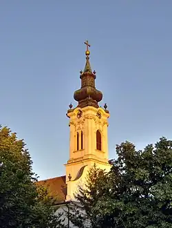 The Orthodox Church | |
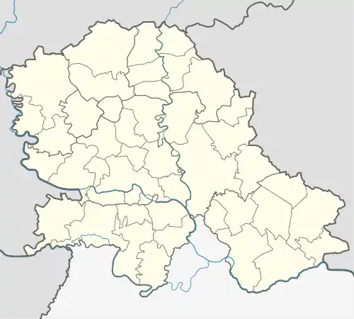 Elemir Location of Elemir within Serbia 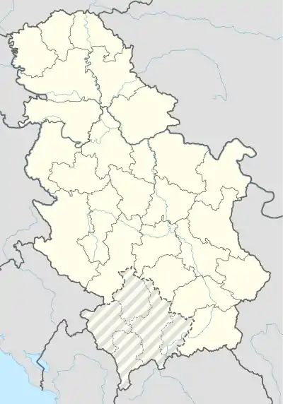 Elemir Elemir (Serbia) 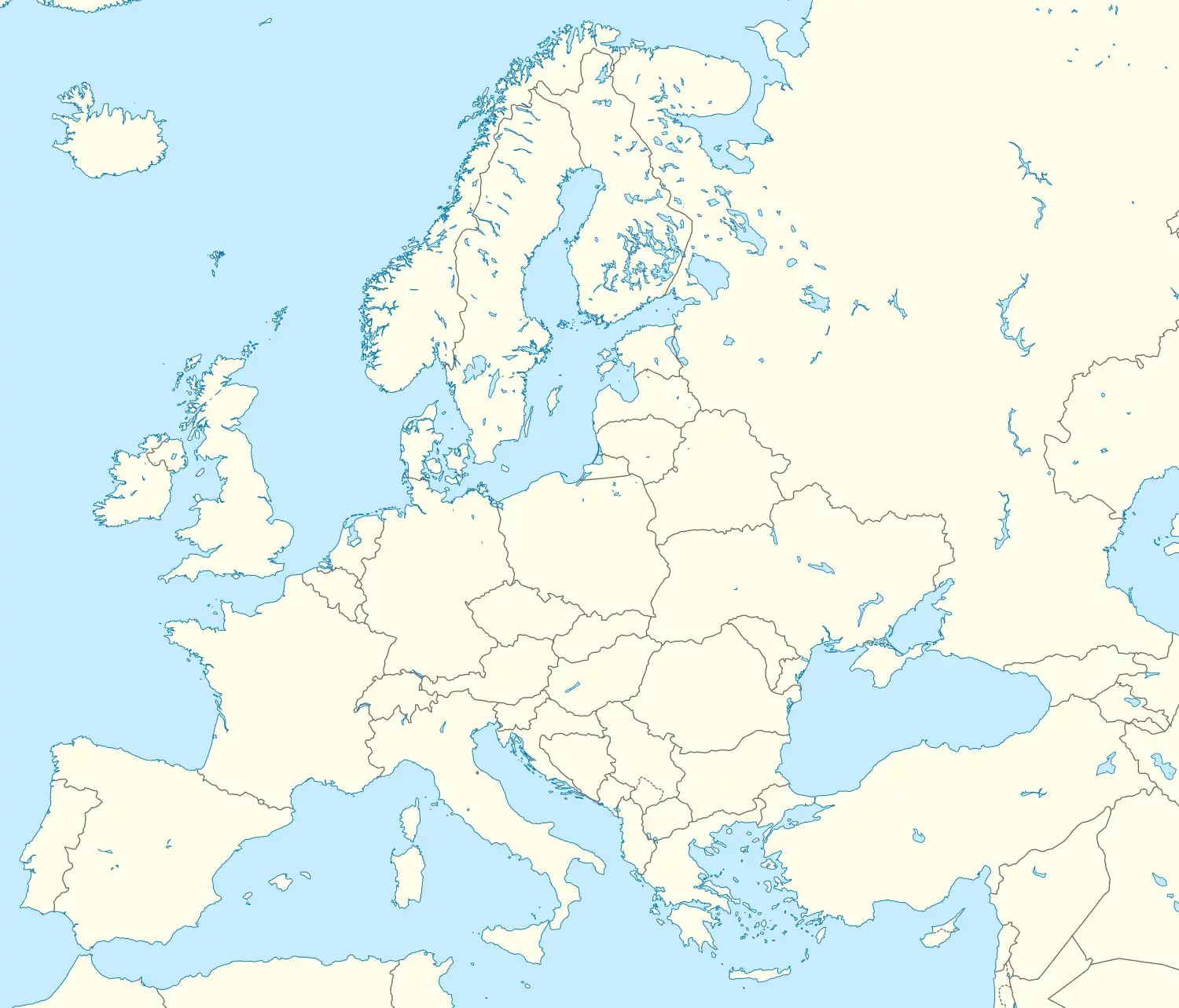 Elemir Elemir (Europe) | |
| Coordinates: 45°26′20″N 20°17′32″E / 45.43889°N 20.29222°E | |
| Country | Serbia |
| Province | Vojvodina |
| District | Central Banat |
| Area | |
| • Elemir | 72.6 km2 (28.0 sq mi) |
| Elevation | 78 m (256 ft) |
| Population (2011) | |
| • Elemir | 4,338 |
| • Density | 60/km2 (150/sq mi) |
| Time zone | UTC+1 (CET) |
| • Summer (DST) | UTC+2 (CEST) |
| Postal code | 23208 |
| Area code | +381(0)23 |
| Car plates | ZR |
Elemir (Serbian Cyrillic: Елемир; Hungarian: Elemér) is a village located in the Zrenjanin municipality, in the Central Banat District of Serbia. It is situated in the province of Vojvodina. As of 2011 census, the village has a population of 4,338 inhabitants.
Name
In Serbian, the village is known as Elemir or Елемир, in Hungarian as Elemér and in German as Elemer.
Demographics
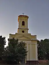
Catholic church in Elemir
As of 2011 census, the village has a population of 4,338 inhabitants.
Historical population
- 1869: 4,359
- 1900: 4,749
- 1948: 4,656
- 1953: 4,757
- 1961: n/a
- 1971: 5,001
- 1981: 4,998
- 1991: 4,724
- 2002: 4,690
- 2011: 4,338
Ethnic groups
The ethnic composition of the village (as of 2011 census):
- Serbs = 4,158 (88.66%)
- Romani = 181 (3.86%)
- Hungarians = 93 (1.98%)
- Yugoslavs = 54 (1.15%)
- Croats = 24 (0.51%)
- Others (3.84%)
Gallery
 Kastel park in autumn
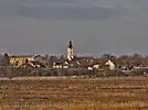 Orthodox church and primary school
 Sunset near Elemir
 European white stork
See also
References
- Slobodan Ćurčić, Broj stanovnika Vojvodine, Novi Sad, 1996.
External links
Wikimedia Commons has media related to Elemir.
This article is issued from Wikipedia. The text is licensed under Creative Commons - Attribution - Sharealike. Additional terms may apply for the media files.