Ferrières | |
|---|---|
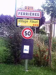 The entrance to Ferrières | |
Location of Ferrières | |
 Ferrières 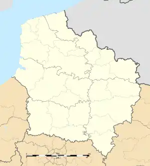 Ferrières | |
| Coordinates: 49°53′34″N 2°10′41″E / 49.8928°N 2.178°E | |
| Country | France |
| Region | Hauts-de-France |
| Department | Somme |
| Arrondissement | Amiens |
| Canton | Ailly-sur-Somme |
| Intercommunality | CA Amiens Métropole |
| Government | |
| • Mayor (2020–2026) | Daniel Demaret[1] |
| Area 1 | 3.47 km2 (1.34 sq mi) |
| Population | 479 |
| • Density | 140/km2 (360/sq mi) |
| Time zone | UTC+01:00 (CET) |
| • Summer (DST) | UTC+02:00 (CEST) |
| INSEE/Postal code | 80305 /80470 |
| Elevation | 59–115 m (194–377 ft) (avg. 110 m or 360 ft) |
| 1 French Land Register data, which excludes lakes, ponds, glaciers > 1 km2 (0.386 sq mi or 247 acres) and river estuaries. | |
Ferrières (French pronunciation: [fɛʁjɛʁ] ⓘ) is a commune in the Somme department in Hauts-de-France in northern France.
Geography
The commune is situated on the D211 road, some 5 miles (8 km) west of Amiens.
Population
| Year | Pop. | ±% p.a. |
|---|---|---|
| 1968 | 252 | — |
| 1975 | 307 | +2.86% |
| 1982 | 315 | +0.37% |
| 1990 | 396 | +2.90% |
| 1999 | 426 | +0.81% |
| 2007 | 467 | +1.16% |
| 2012 | 465 | −0.09% |
| 2017 | 477 | +0.51% |
| Source: INSEE[3] | ||
Places of interest
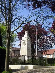
The war memorial
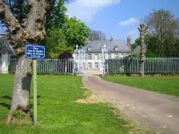
The château
See also
References
- ↑ "Répertoire national des élus: les maires". data.gouv.fr, Plateforme ouverte des données publiques françaises (in French). 2 December 2020.
- ↑ "Populations légales 2021". The National Institute of Statistics and Economic Studies. 28 December 2023.
- ↑ Population en historique depuis 1968, INSEE
Wikimedia Commons has media related to Ferrières (Somme).
This article is issued from Wikipedia. The text is licensed under Creative Commons - Attribution - Sharealike. Additional terms may apply for the media files.