| Flints Peak | |
|---|---|
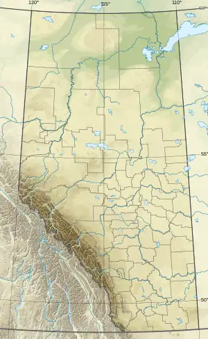 Flints Peak Location in Alberta | |
| Highest point | |
| Elevation | 2,950 m (9,680 ft)[1] |
| Prominence | 170 m (560 ft)[2] |
| Parent peak | Cuthead Peak 2960 m[2] |
| Listing | Mountains of Alberta |
| Coordinates | 51°26′22″N 115°45′38″W / 51.43944°N 115.76056°W[3] |
| Geography | |
| Location | Alberta, Canada |
| Parent range | Vermilion Range |
| Topo map | NTS 85O5 Pollock Lake |
Flints Peak was named in 1959.[3] It is located in the Vermilion Range in Banff National Park, Alberta.[1][2]
References
- 1 2 "Flints Peak". cdnrockiesdatabases.ca. Retrieved 2019-08-19.
- 1 2 3 "Flints Peak". Bivouac.com. Retrieved 2019-08-19.
- 1 2 "Flints Peak". Geographical Names Data Base. Natural Resources Canada. Retrieved 2019-08-19.
Further reading
- Alan Kane, Scrambles in the Canadian Rockies, P 262
- Glen W. Boles, William Lowell Putnam, Roger W. Laurilla, Canadian Mountain Place Names: The Rockies and Columbia Mountains, P 98
This article is issued from Wikipedia. The text is licensed under Creative Commons - Attribution - Sharealike. Additional terms may apply for the media files.