Fronan | |
|---|---|
Town, sub-prefecture, and commune | |
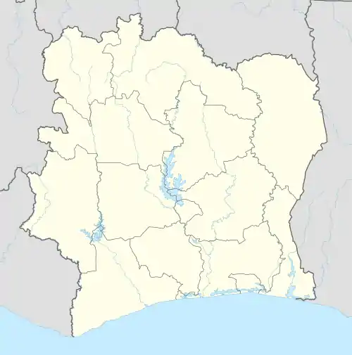 Fronan Location in Ivory Coast | |
| Coordinates: 8°18′N 5°9′W / 8.300°N 5.150°W | |
| Country | |
| District | Vallée du Bandama |
| Region | Hambol |
| Department | Katiola |
| Area | |
| • Total | 1,510 km2 (580 sq mi) |
| Population (2021 census)[1] | |
| • Total | 56,796 |
| • Density | 38/km2 (97/sq mi) |
| • Town | 16,647[2] |
| (2014 census) | |
| Time zone | UTC+0 (GMT) |
Fronan is a town in central Ivory Coast. It is a sub-prefecture and commune of Katiola Department in Hambol Region, Vallée du Bandama District.
In 2021, the population of the sub-prefecture of Fronan was 56,796.[1]
Villages
The 8 villages of the sub-prefecture of Fronan and their population in 2014 are:[3]
- Darakokaha (5 966)
- Fronan (16 647)
- Naplékaha (2 751)
- Ouanadiékaha (3 801)
- Tiengala (2 033)
- Kanangonon (4 649)
- Tafolo (2 411)
- Takala (659)
Notes
- 1 2 Citypopulation.de Population of the regions and sub-prefectures of Ivory Coast
- ↑ Citypopulation.de Population of cities & localities in Ivory Coast
- ↑ Citypopulation.de Population of the localities in the sub-prefecture of Fronan
Regional seat: Katiola | ||
| Dabakala Department | 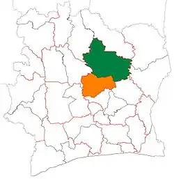 | |
| Katiola Department | ||
| Niakaramandougou Department | ||
* also a commune | ||
This article is issued from Wikipedia. The text is licensed under Creative Commons - Attribution - Sharealike. Additional terms may apply for the media files.