Gampern | |
|---|---|
.JPG.webp) The parish church of the town | |
 Coat of arms | |
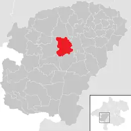 Location in the district | |
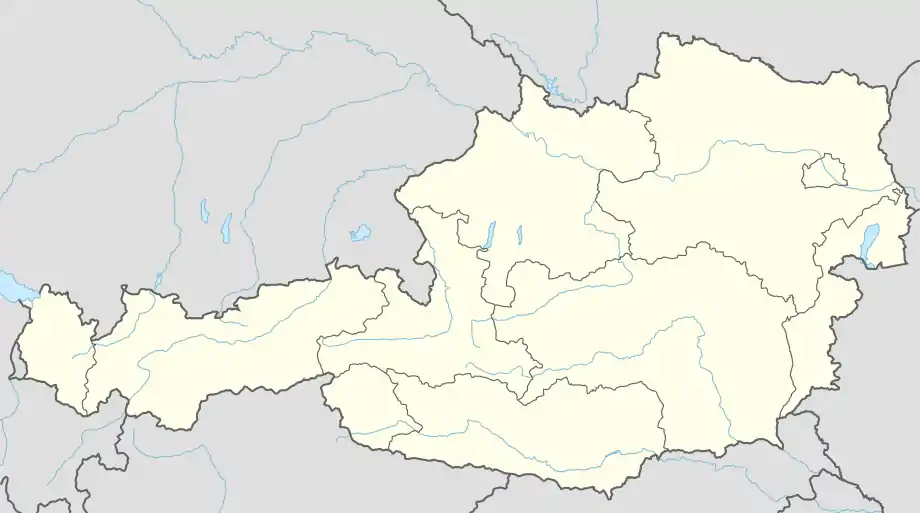 Gampern Location within Austria | |
| Coordinates: 47°59′21″N 13°33′02″E / 47.98917°N 13.55056°E | |
| Country | Austria |
| State | Upper Austria |
| District | Vöcklabruck |
| Government | |
| • Mayor | Hermann Stockinger (ÖVP) |
| Area | |
| • Total | 26.26 km2 (10.14 sq mi) |
| Elevation | 509 m (1,670 ft) |
| Population (2018-01-01)[2] | |
| • Total | 2,927 |
| • Density | 110/km2 (290/sq mi) |
| Time zone | UTC+1 (CET) |
| • Summer (DST) | UTC+2 (CEST) |
| Postal code | 4851 |
| Area code | 07682 |
| Vehicle registration | VB |
| Website | www.gampern.at |
Gampern is a municipality in the district of Vöcklabruck in the Austrian state of Upper Austria.
Population
| Year | Pop. | ±% |
|---|---|---|
| 2001 | 2,472 | — |
| 2011 | 2,701 | +9.3% |
References
- ↑ "Dauersiedlungsraum der Gemeinden Politischen Bezirke und Bundesländer - Gebietsstand 1.1.2018". Statistics Austria. Retrieved 10 March 2019.
- ↑ "Einwohnerzahl 1.1.2018 nach Gemeinden mit Status, Gebietsstand 1.1.2018". Statistics Austria. Retrieved 9 March 2019.
Wikimedia Commons has media related to Gampern.
This article is issued from Wikipedia. The text is licensed under Creative Commons - Attribution - Sharealike. Additional terms may apply for the media files.