Ganguru | |
|---|---|
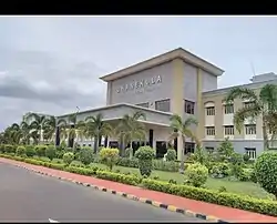 Danekula College | |
.svg.png.webp) Ganguru Location in Andhra Pradesh, India 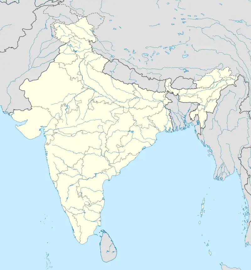 Ganguru Ganguru (India) | |
| Coordinates: 16°28′30″N 80°44′28″E / 16.47500°N 80.74111°E | |
| Country | India |
| State | Andhra Pradesh |
| District | Krishna |
| Mandal | Penamaluru |
| Population (2011)[1] | |
| • Total | 9,757 |
| Languages | |
| • Official | Telugu |
| Time zone | UTC+5:30 (IST) |
| Vehicle registration | AP |
| Lok Sabha constituency | Machilipatnam |
Ganguru is a neighbourhood of Vijayawada in Krishna district of the Indian state of Andhra Pradesh.[1] As per the G.O. No. M.S.104 (dated:23-03-2017), Municipal Administration and Urban Development Department, it became a part of Vijayawada metropolitan area.[2][3] It is located in Penamaluru mandal of Vijayawada revenue division.[1]
References
- 1 2 3
- ↑ Staff Reporter. "Vijayawada, 19 other contiguous areas notified as Metropolitan Area". The Hindu. Retrieved 27 March 2017.
- ↑ "Welcome to Government Order Issue Register". goir.ap.gov.in. Retrieved 27 March 2017.
This article is issued from Wikipedia. The text is licensed under Creative Commons - Attribution - Sharealike. Additional terms may apply for the media files.