Gargantilla | |
|---|---|
.svg.png.webp) Flag .svg.png.webp) Coat of arms | |
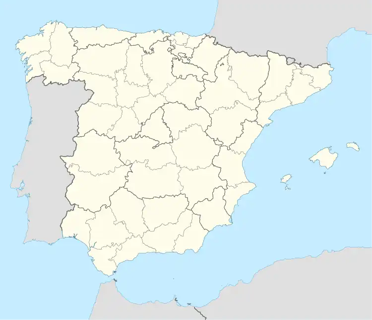 Gargantilla Location in Spain | |
| Coordinates: 40°14′54″N 5°55′13″W / 40.24833°N 5.92028°W | |
| Country | |
| Community | |
| Province | Cáceres |
| Comarca | Valle del Ambroz |
| Area | |
| • Total | 20.87 km2 (8.06 sq mi) |
| Population (2018)[1] | |
| • Total | 403 |
| • Density | 19/km2 (50/sq mi) |
| Time zone | UTC+1 (CET) |
| • Summer (DST) | UTC+2 (CEST) |
Gargantilla is a municipality located in the province of Cáceres, Extremadura, Spain. According to the 2006 census (INE), the municipality has a population of 450 inhabitants.
References
- ↑ Municipal Register of Spain 2018. National Statistics Institute.
This article is issued from Wikipedia. The text is licensed under Creative Commons - Attribution - Sharealike. Additional terms may apply for the media files.