Garlate
| |
|---|---|
| Comune di Garlate | |
Location of Garlate | |
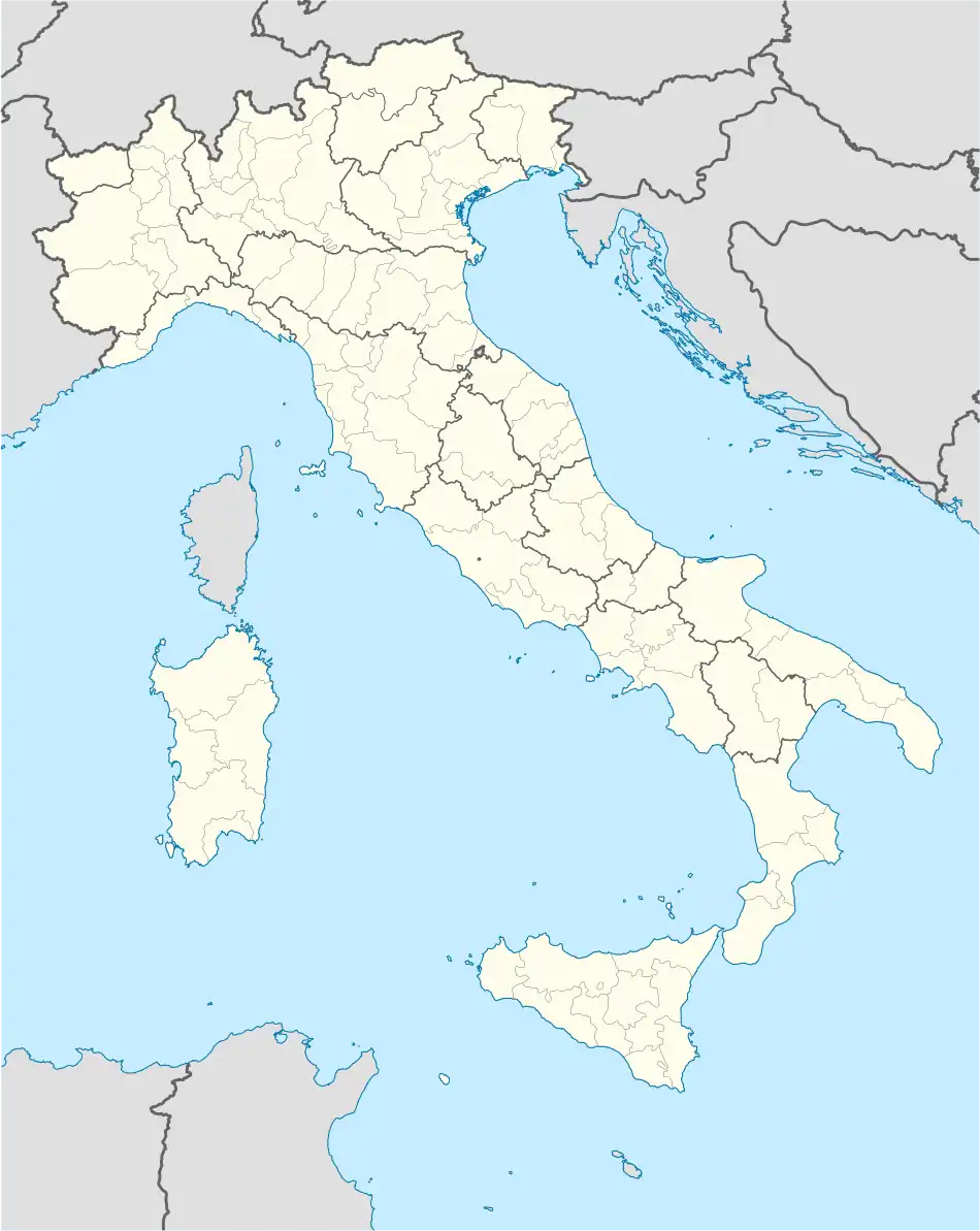 Garlate Location of Garlate in Italy 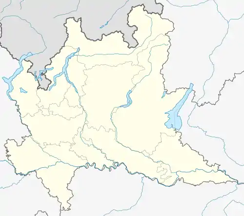 Garlate Garlate (Lombardy) | |
| Coordinates: 45°48′N 9°24′E / 45.800°N 9.400°E | |
| Country | Italy |
| Region | Lombardy |
| Province | Province of Lecco (LC) |
| Area | |
| • Total | 2.1 km2 (0.8 sq mi) |
| Elevation | 205 m (673 ft) |
| Population (Dec. 2004)[2] | |
| • Total | 2,630 |
| • Density | 1,300/km2 (3,200/sq mi) |
| Demonym | Garlatesi |
| Time zone | UTC+1 (CET) |
| • Summer (DST) | UTC+2 (CEST) |
| Postal code | 23852 |
| Dialing code | 0341 |
| Website | Official website |
Garlate (Brianzöö: Garlàa) is a comune (municipality) in the Province of Lecco in the Italian region Lombardy, located about 40 kilometres (25 mi) northeast of Milan and about 6 kilometres (4 mi) south of Lecco. As of 31 December 2004, it had a population of 2,630 and an area of 2.1 square kilometres (0.81 sq mi).[3]
Garlate borders the municipalities of Galbiate, Lecco, Olginate, Pescate, and Vercurago.
Historical monuments
- St Stephen Church (Santo Stefano) - building of mediaeval origine, rebuilt in barocco, St. Stepan is celebrated every year as a patron saint of the city
- Silk Museum (Museo della setta) - situated in a former silk factory
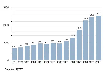
Demographic evolution
References
- ↑ "Superficie di Comuni Province e Regioni italiane al 9 ottobre 2011". Italian National Institute of Statistics. Retrieved 16 March 2019.
- ↑ "Popolazione Residente al 1° Gennaio 2018". Italian National Institute of Statistics. Retrieved 16 March 2019.
- ↑ All demographics and other statistics: Italian statistical institute Istat.
External links
This article is issued from Wikipedia. The text is licensed under Creative Commons - Attribution - Sharealike. Additional terms may apply for the media files.