Gernicourt | |
|---|---|
Part of Cormicy | |
Location of Gernicourt | |
 Gernicourt 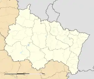 Gernicourt | |
| Coordinates: 49°24′02″N 3°52′25″E / 49.4006°N 3.8736°E | |
| Country | France |
| Region | Grand Est |
| Department | Marne |
| Arrondissement | Reims |
| Canton | Bourgogne-Fresne |
| Commune | Cormicy |
| Area 1 | 7.47 km2 (2.88 sq mi) |
| Population (2019)[1] | 42 |
| • Density | 5.6/km2 (15/sq mi) |
| Time zone | UTC+01:00 (CET) |
| • Summer (DST) | UTC+02:00 (CEST) |
| Postal code | 51220 |
| Elevation | 49–92 m (161–302 ft) (avg. 96 m or 315 ft) |
| 1 French Land Register data, which excludes lakes, ponds, glaciers > 1 km2 (0.386 sq mi or 247 acres) and river estuaries. | |
Gernicourt (French pronunciation: [ʒɛʁnikuʁ]) is a former commune in the Marne department in northern France. Previously part of the Aisne department,[2] it was merged on 1 January 2017 into the commune Cormicy, in Marne.[3]
Population
| Year | Pop. | ±% |
|---|---|---|
| 1962 | 65 | — |
| 1968 | 76 | +16.9% |
| 1975 | 55 | −27.6% |
| 1982 | 43 | −21.8% |
| 1990 | 59 | +37.2% |
| 1999 | 55 | −6.8% |
| 2008 | 64 | +16.4% |
See also
References
- ↑ Téléchargement du fichier d'ensemble des populations légales en 2019, INSEE
- ↑ Décret n° 2016-1912 28 December 2016 (in French)
- ↑ Arrêté préfectoral 31 December 2016 (in French)
Wikimedia Commons has media related to Gernicourt.
This article is issued from Wikipedia. The text is licensed under Creative Commons - Attribution - Sharealike. Additional terms may apply for the media files.